Menu
Menu
Home
Accommodation
Book
Prices
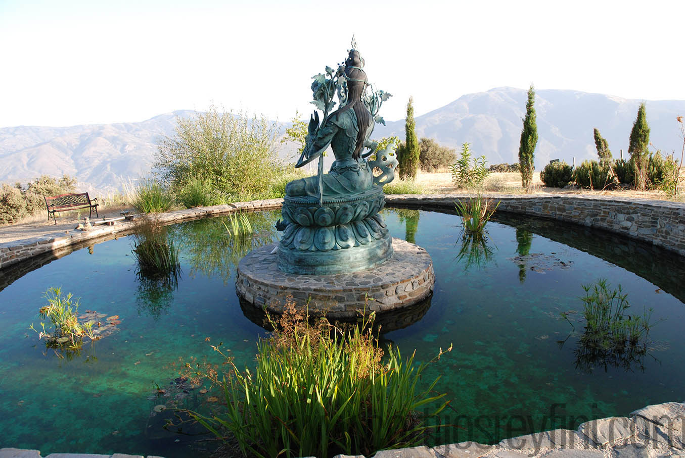
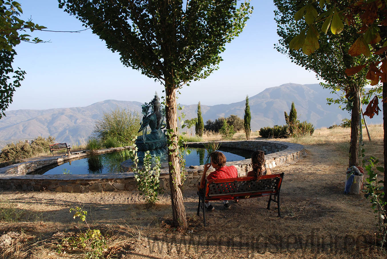
Swimming Pool
Information
Getting There & Map
Useful Links
Things to Do
Alhambra
La Alpujarra
Granada
Local Villages
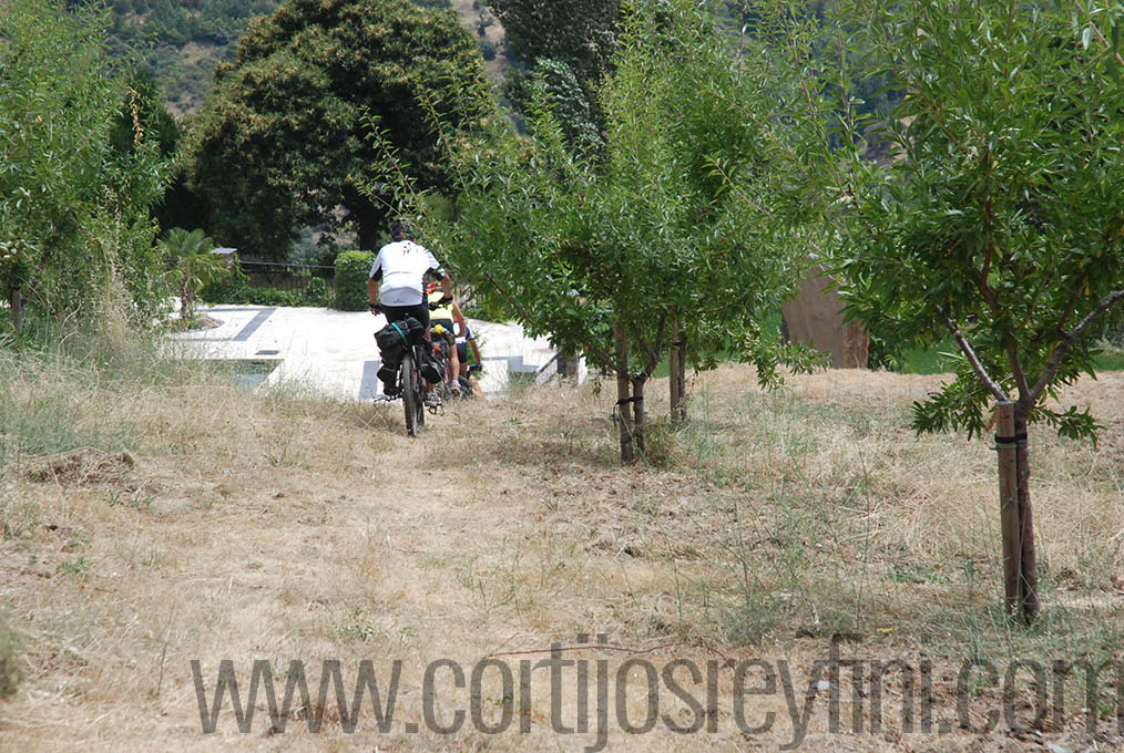
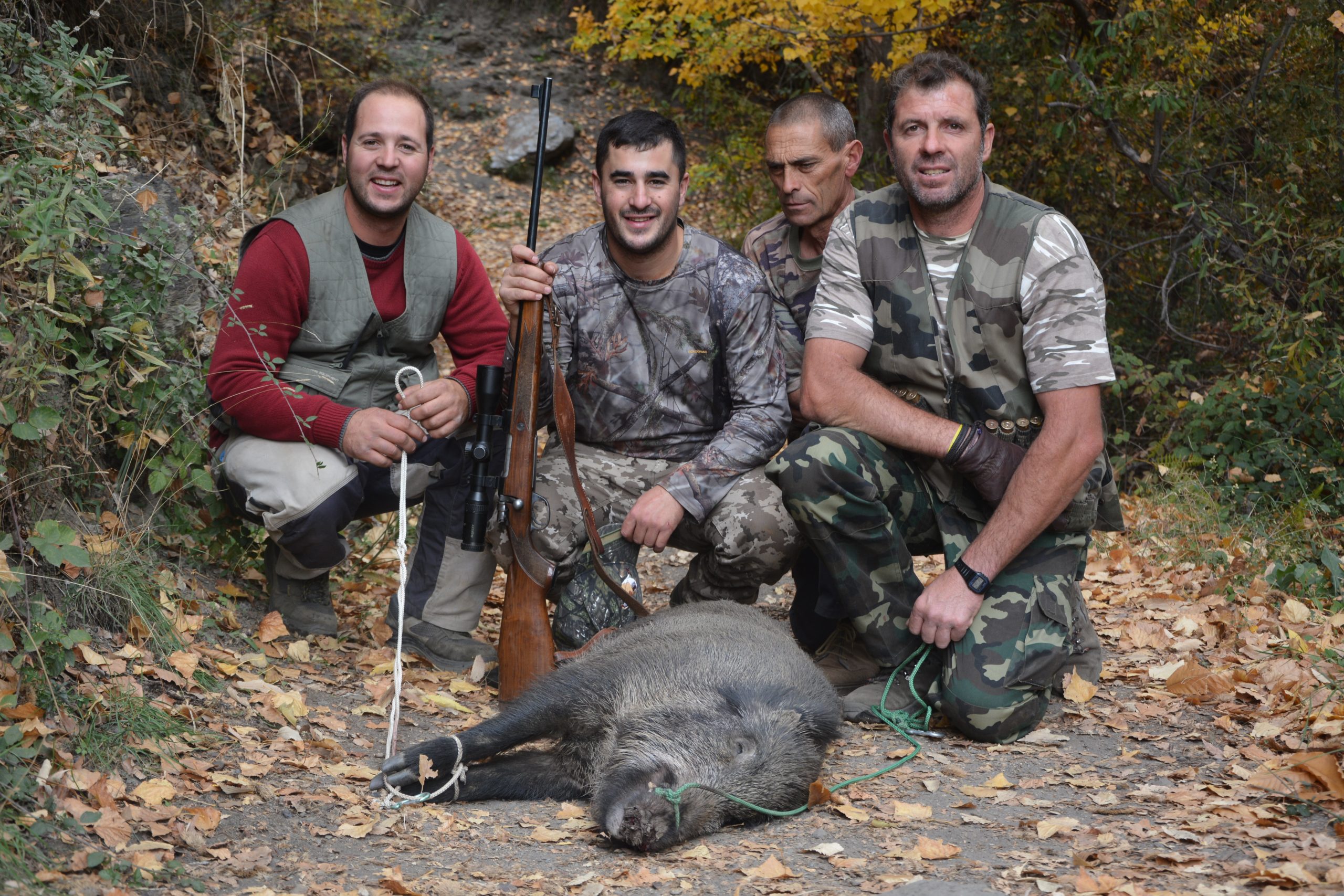
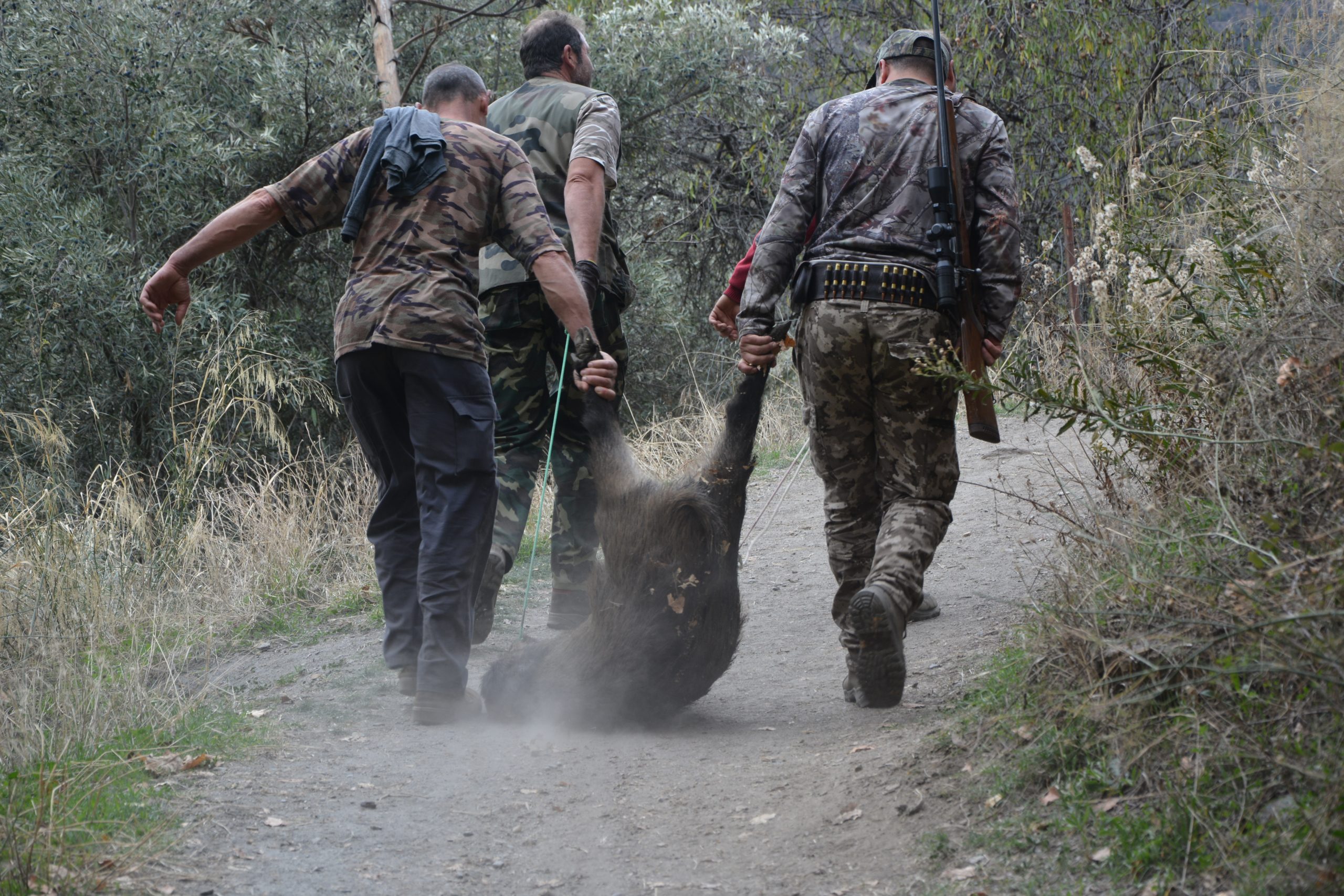
Activities
Beaches
Gastronomy
How to make a clay oven
Clay Oven Cooking
Cortijos Salsa
Food and Dessert
Local Restaurants
FAQ
Gallery
Blog
Contact Us
Cortijos Rey Fini
Home
Accommodation
Cortijos / Cottages
Prices
Book
Swimming Pool
Information
Getting There & Map
Local Transport
Weather in Las Alpujarras
Useful Links
Watch video
Things to Do
Alhambra
La Alpujarra
Granada
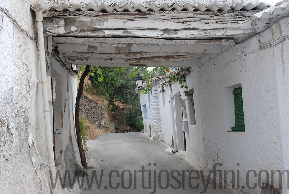
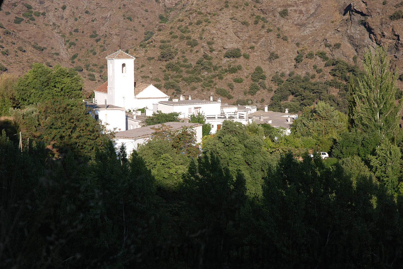
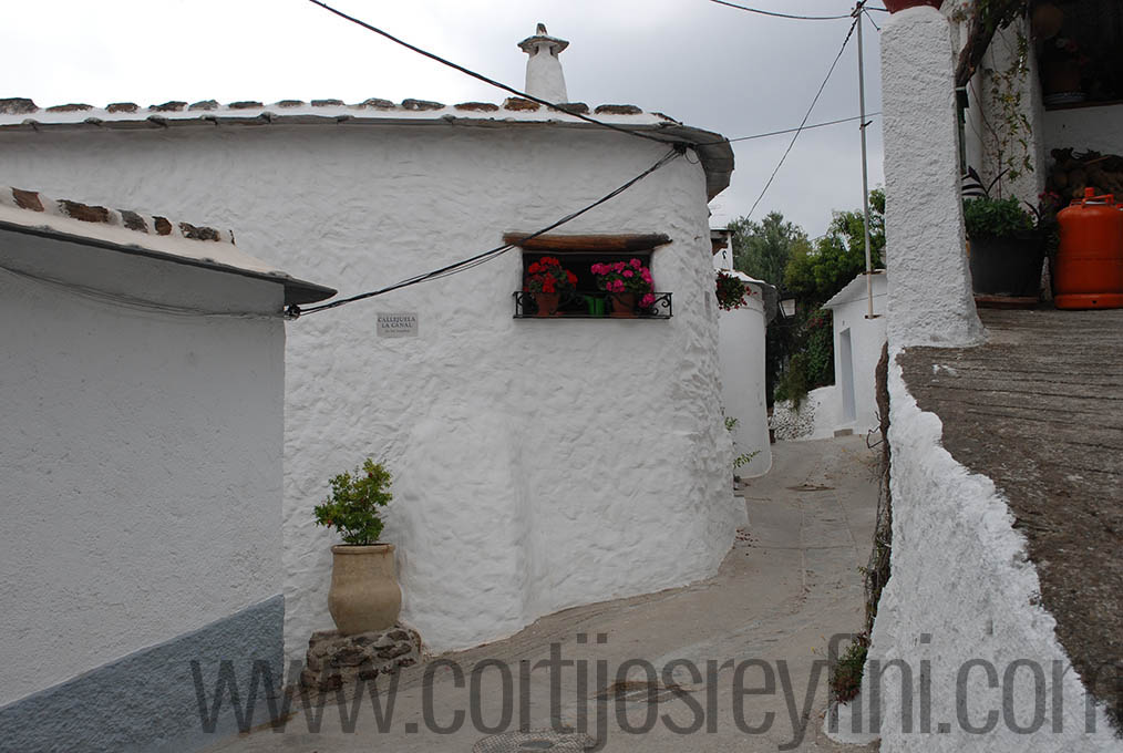
Local Villages
Activities
Beaches
Gastronomy
How to make a clay oven
Clay Oven Cooking
Cortijos Salsa
Food and Dessert
Local Restaurants
FAQ
Gallery
Blog
Contact Us
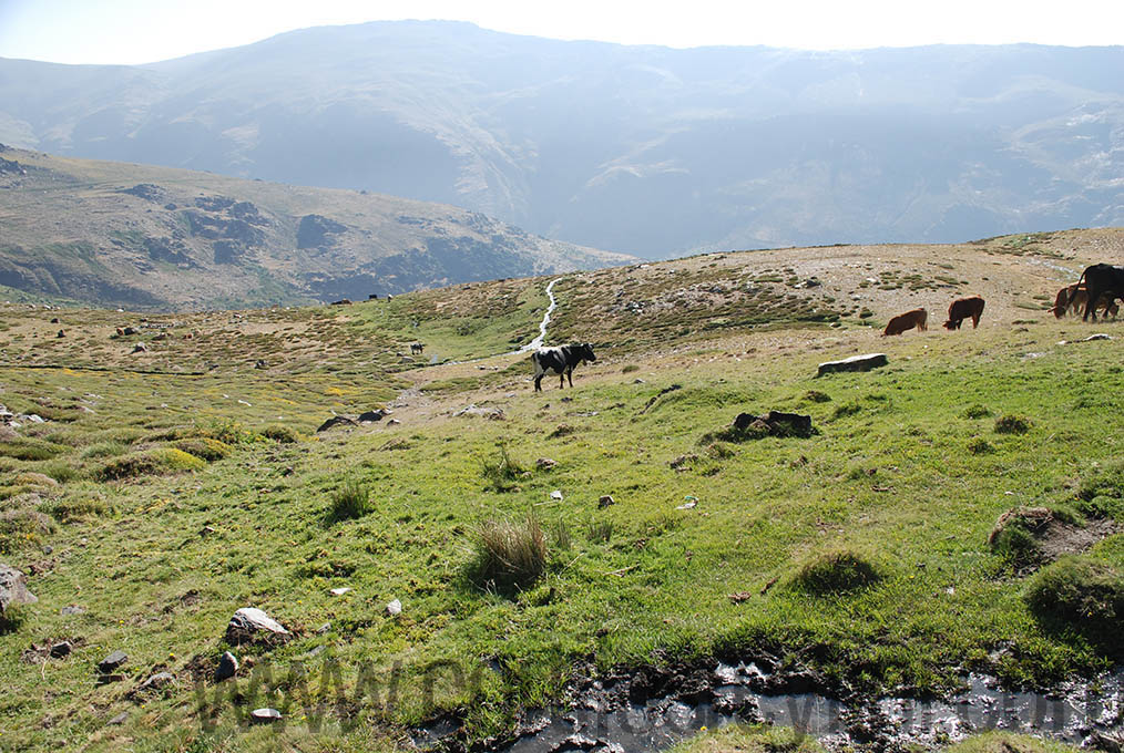
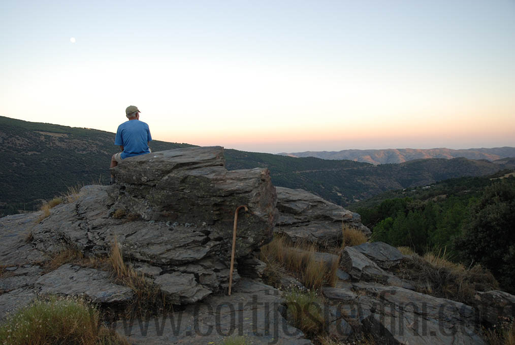
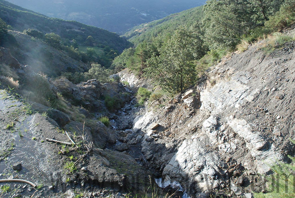
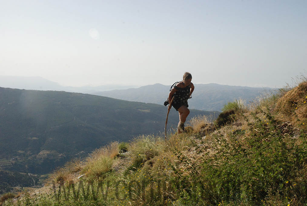
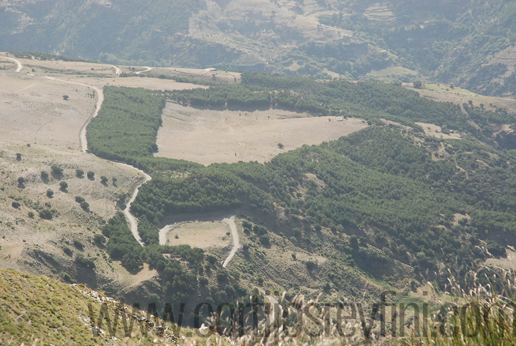
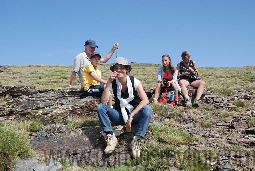
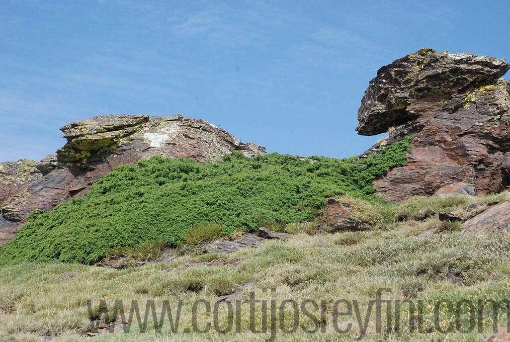
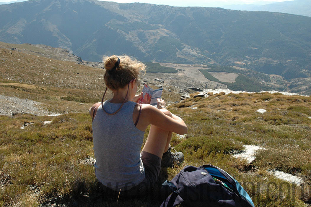
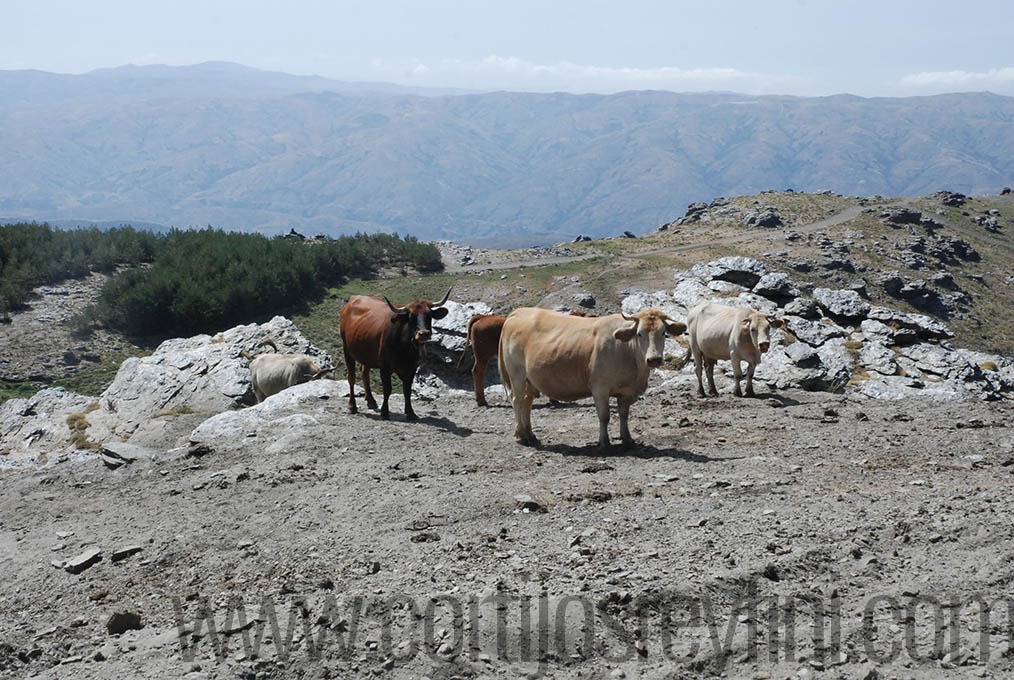
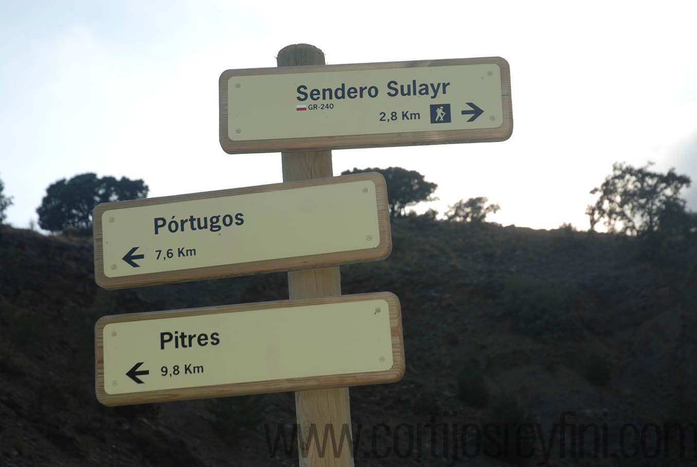
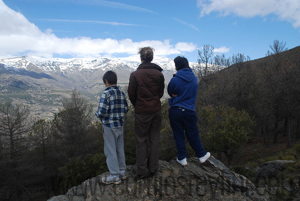
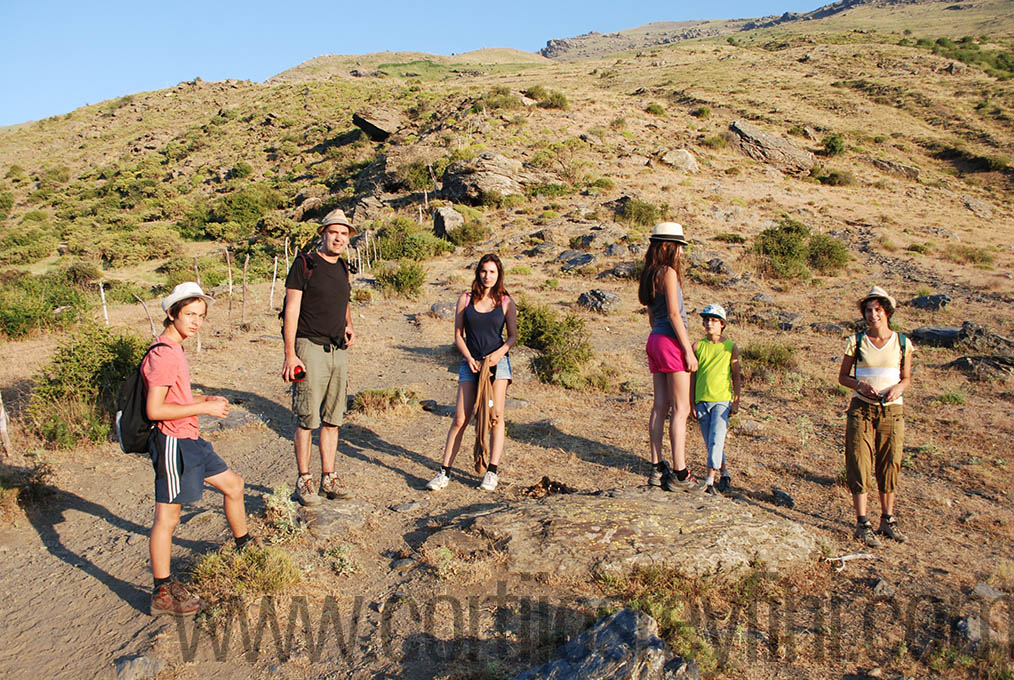
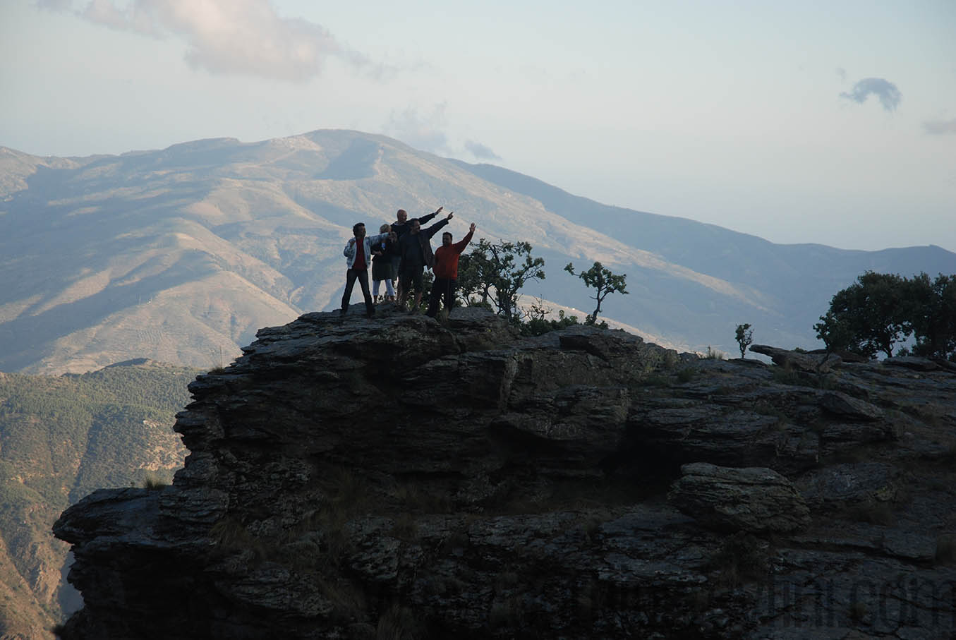
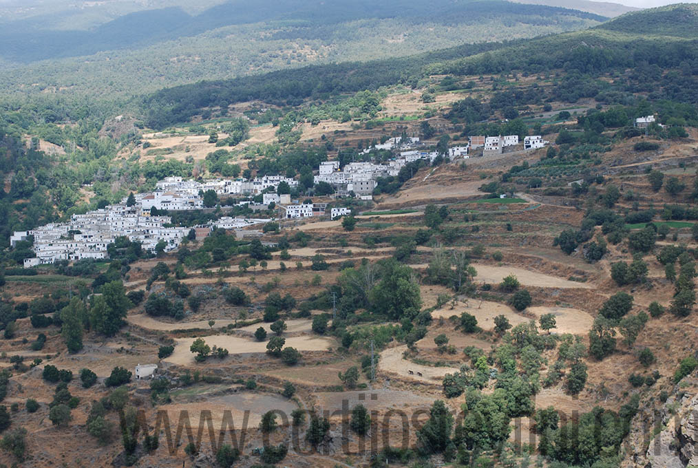
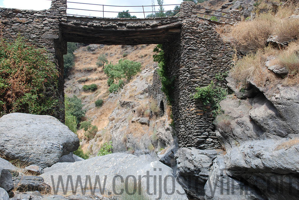
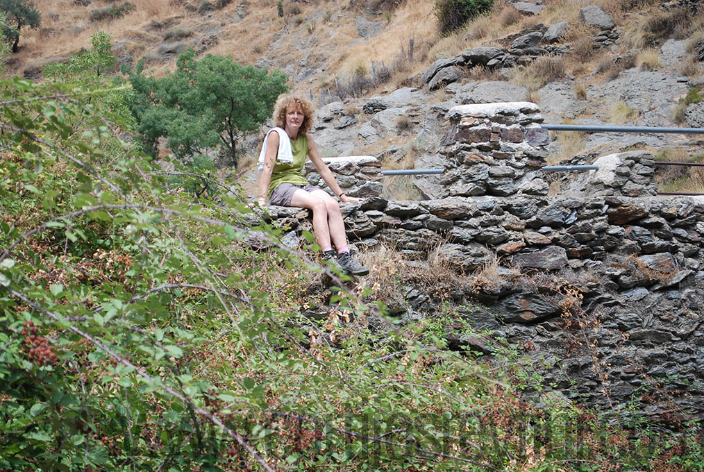
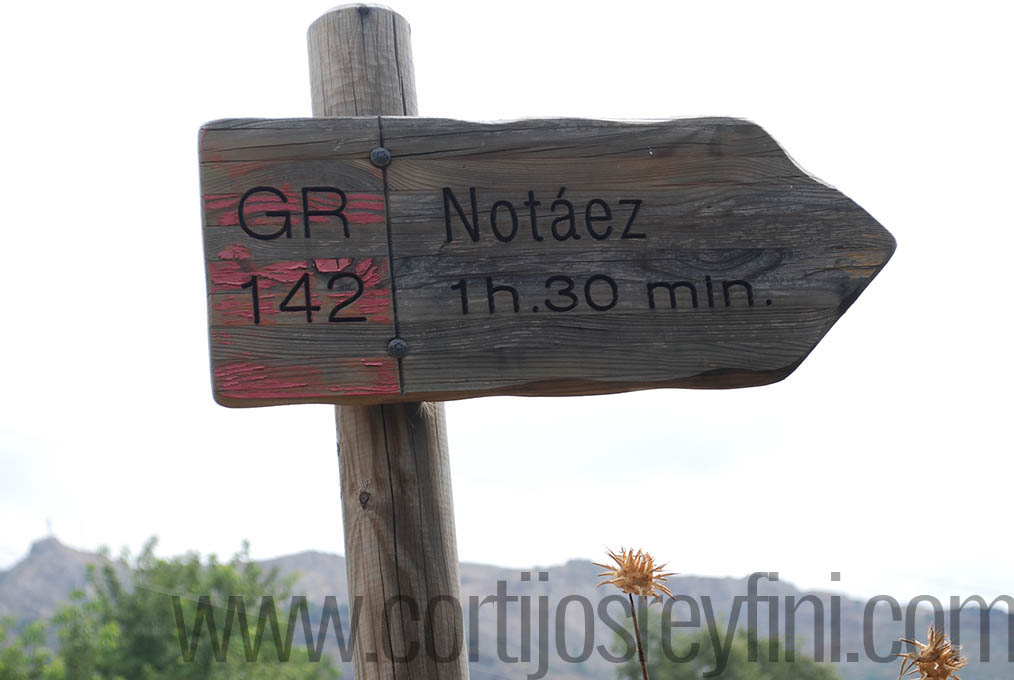
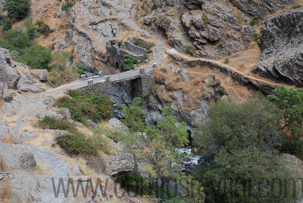
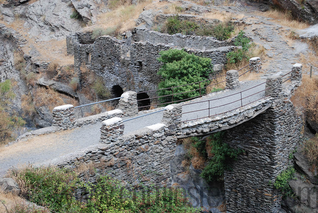
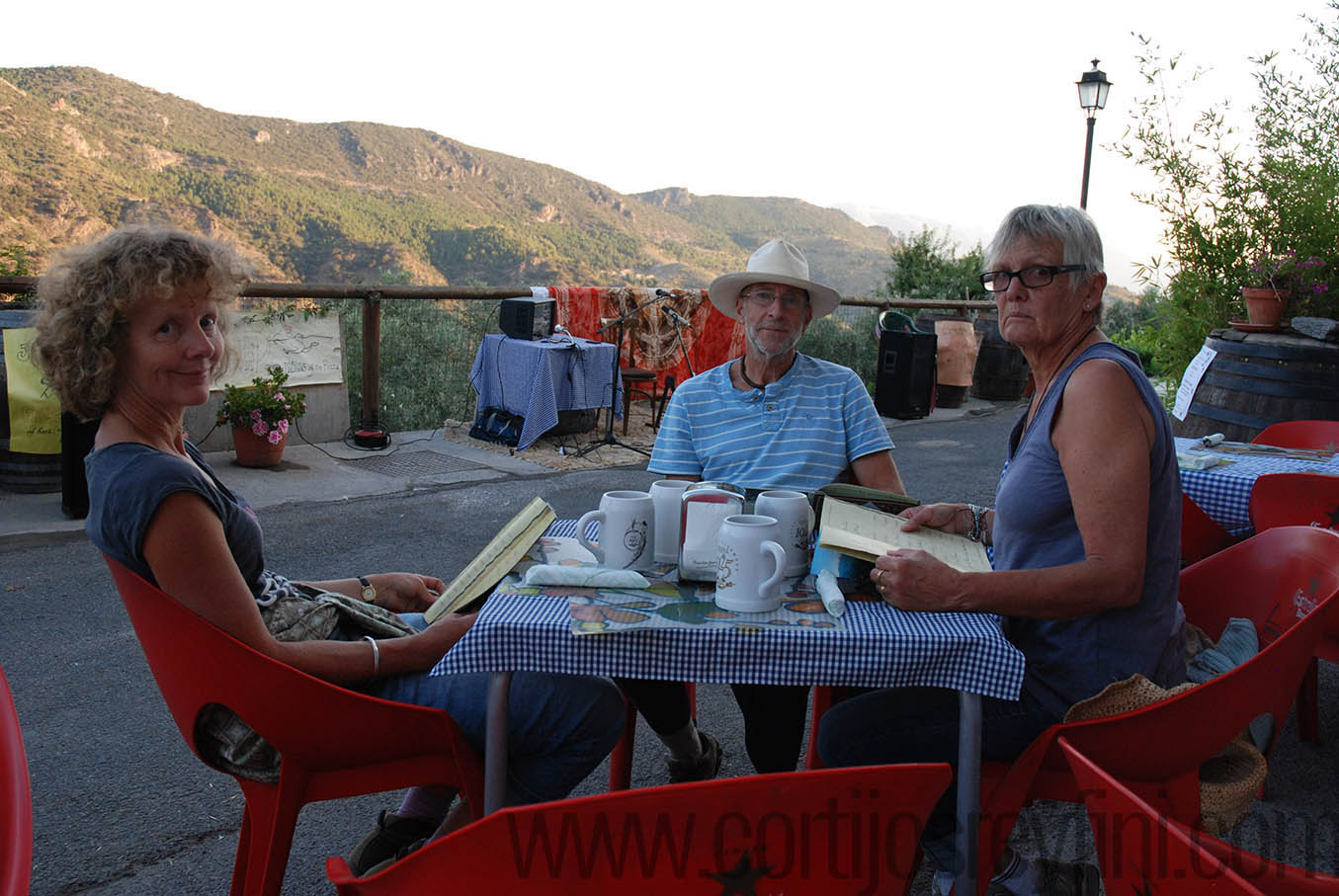
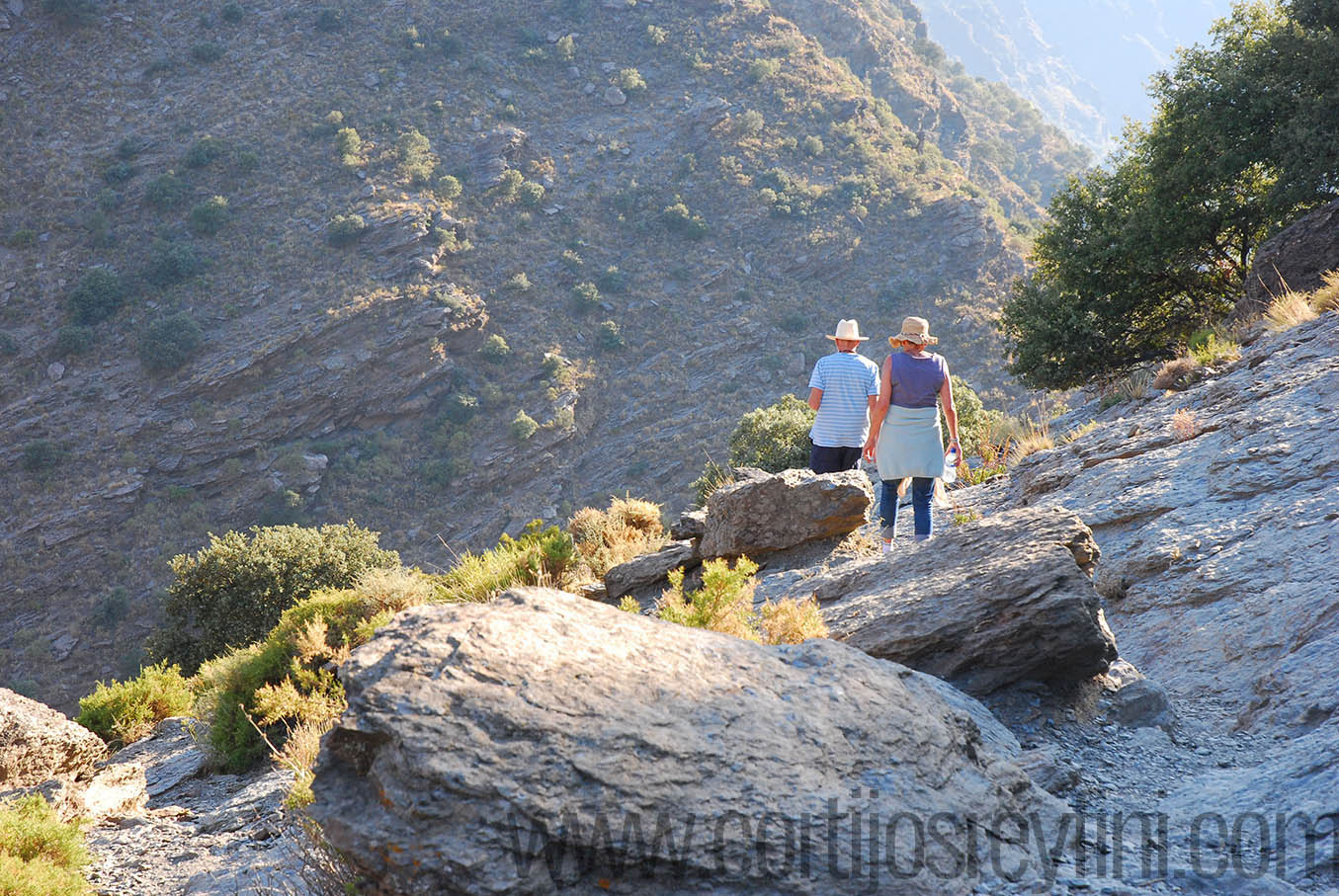
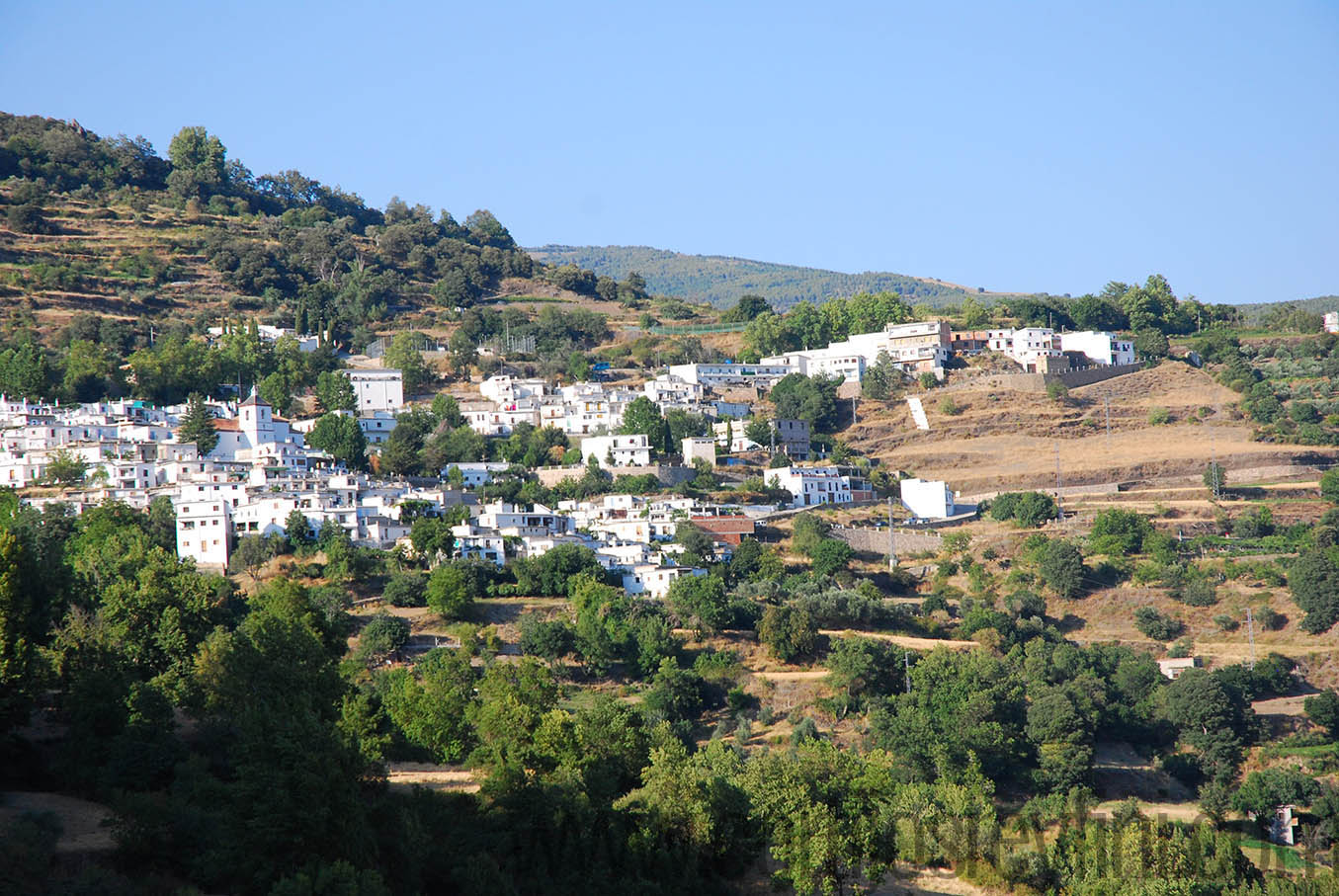
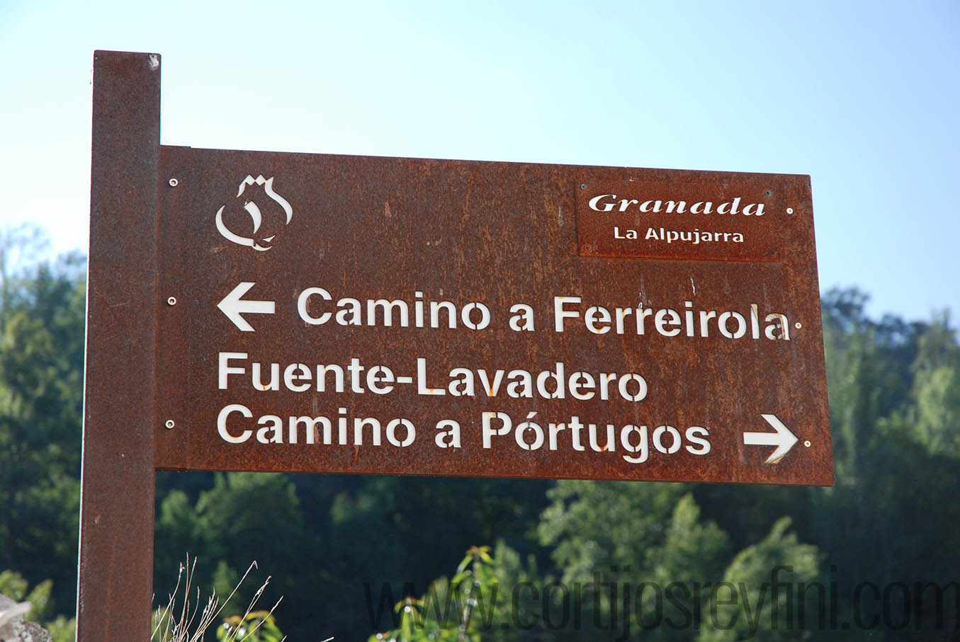
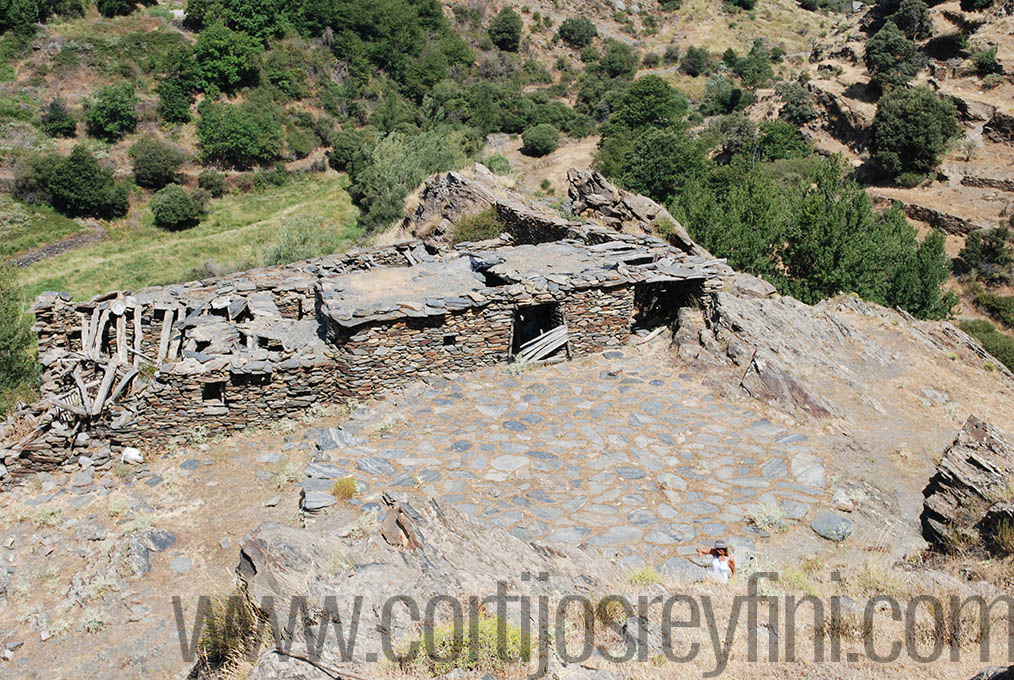
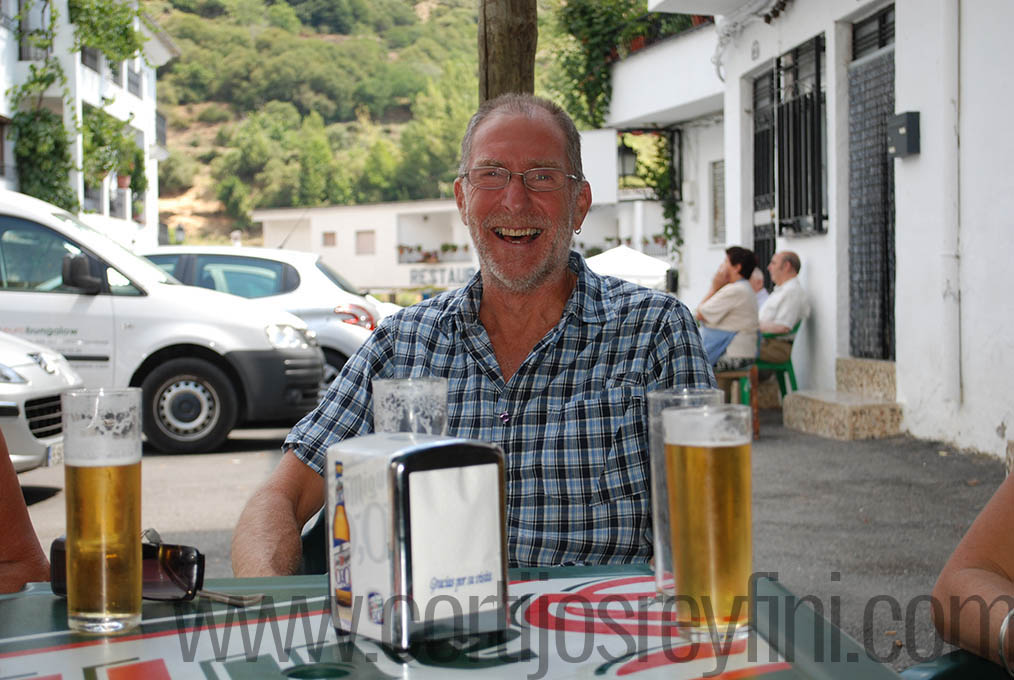
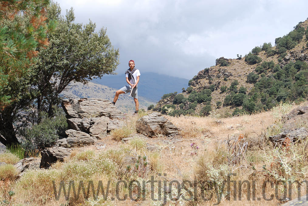
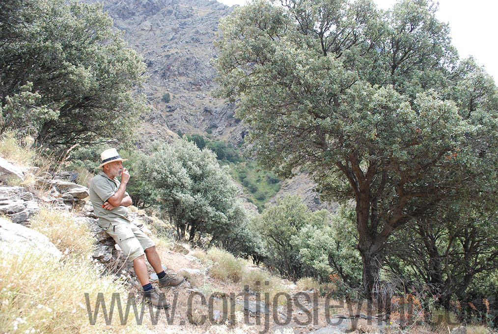
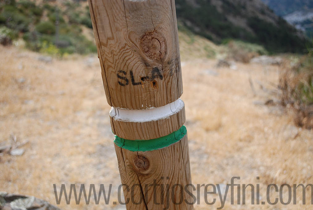
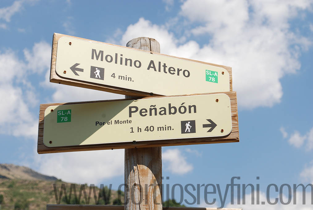
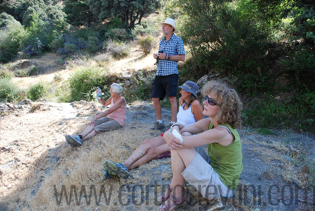
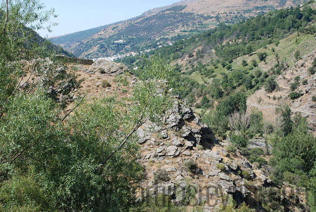
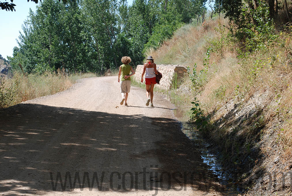
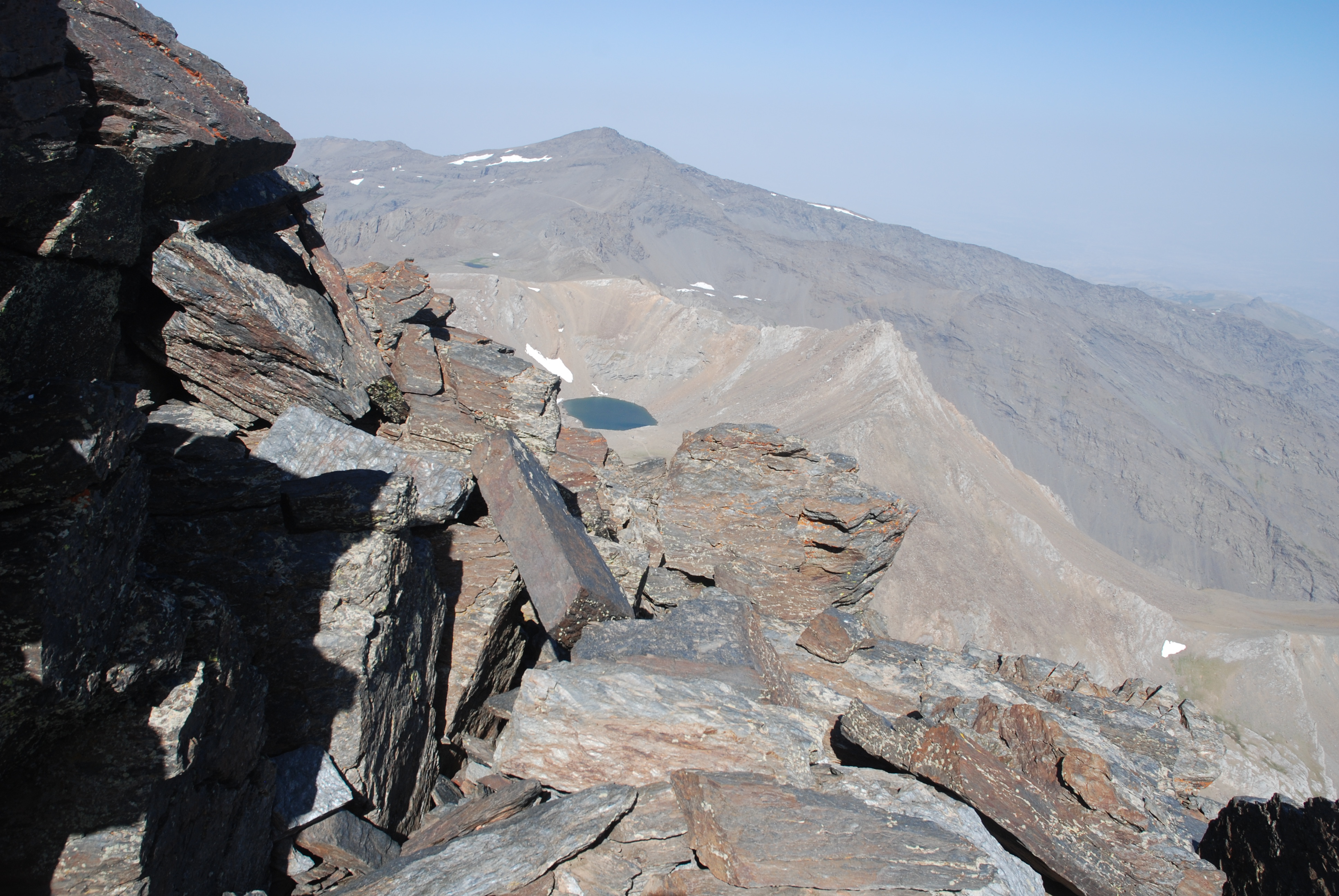
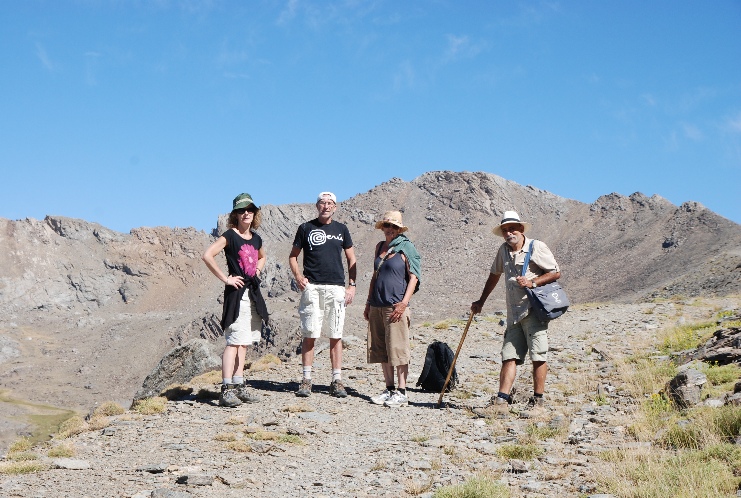
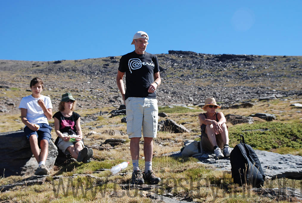
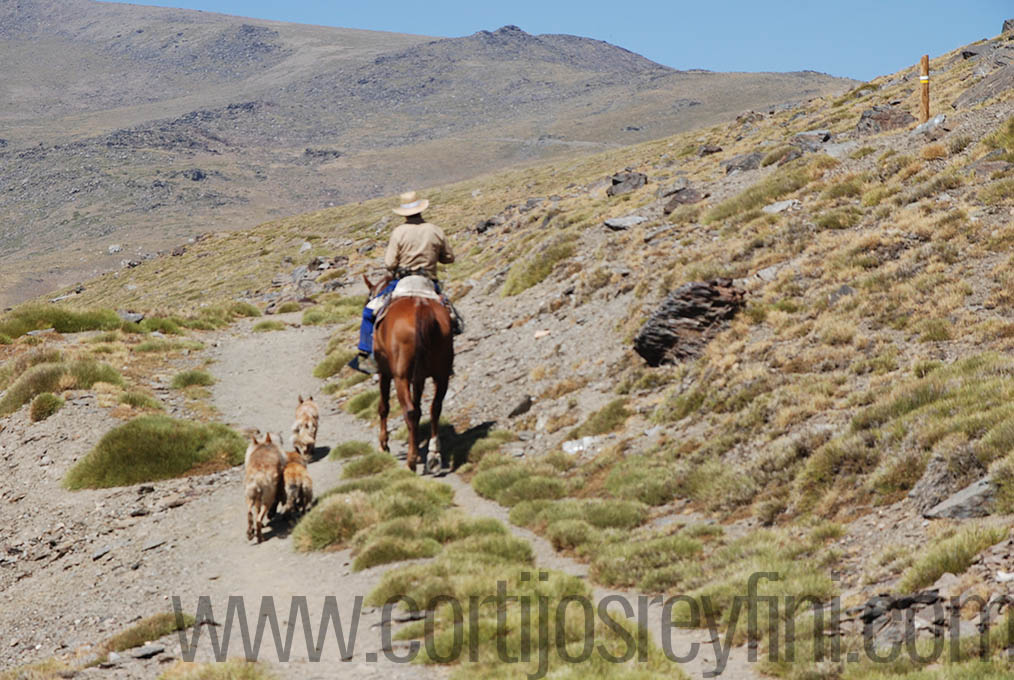
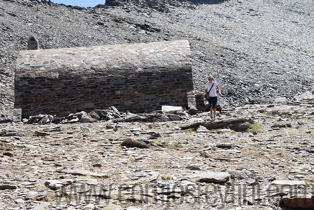
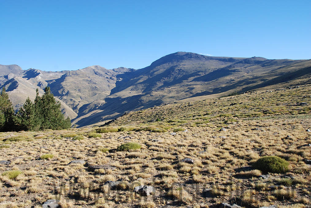
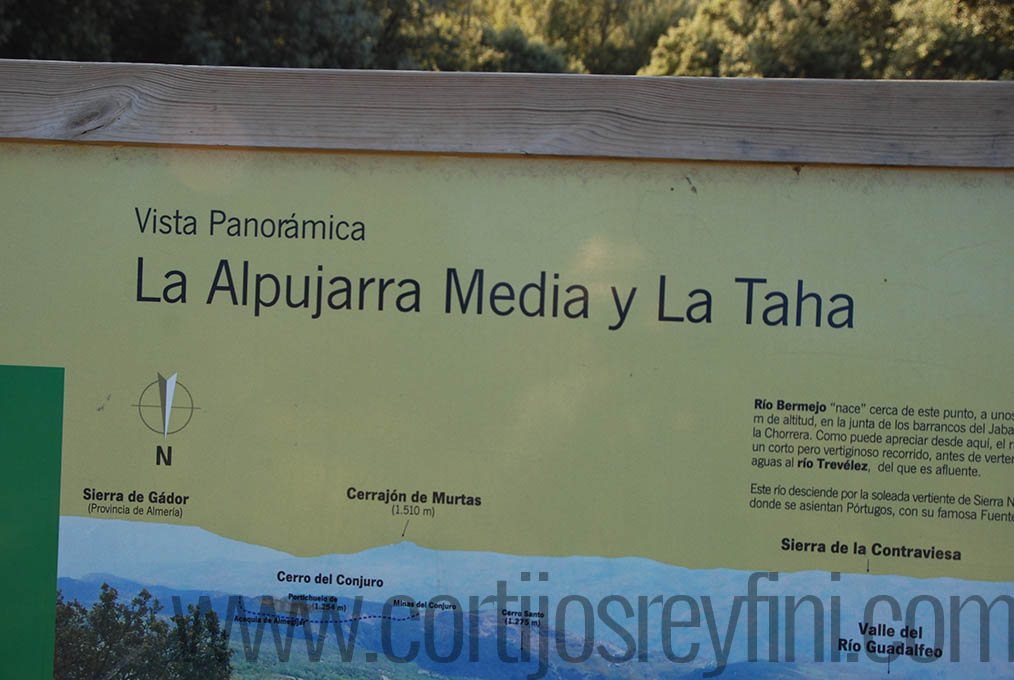
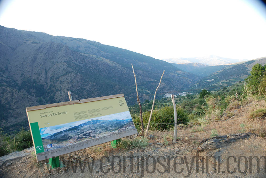
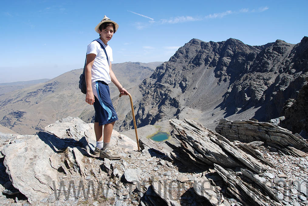
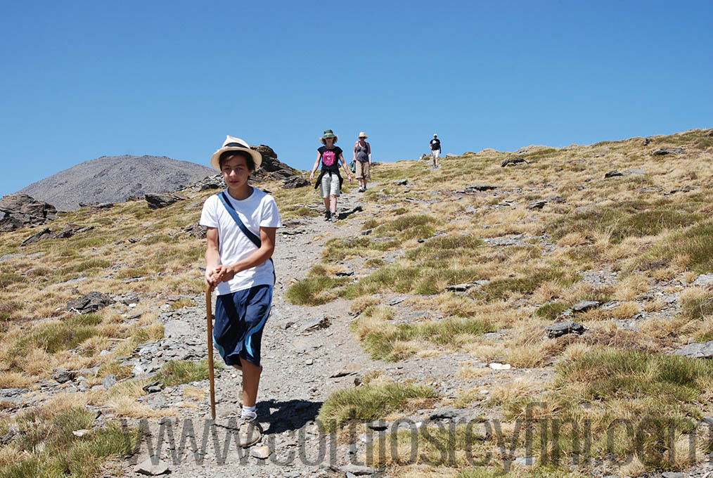
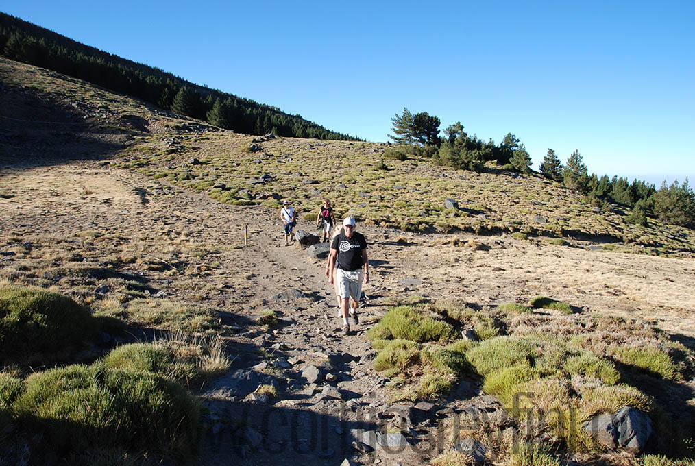
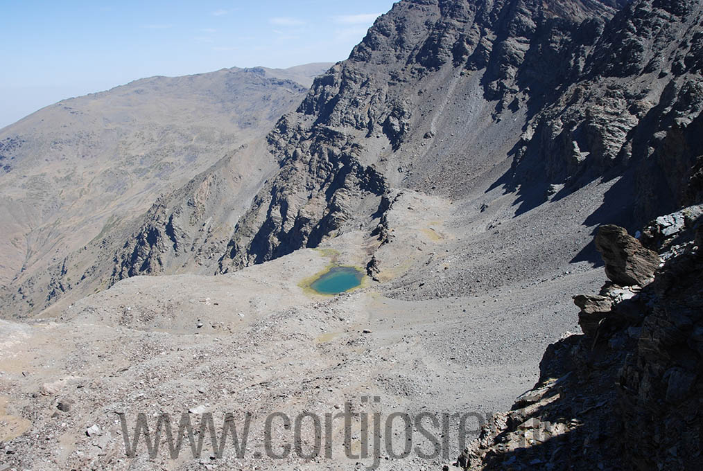
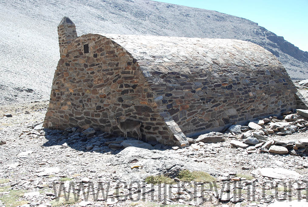
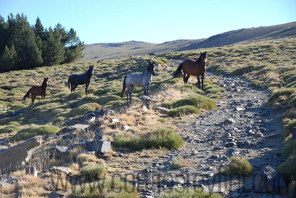
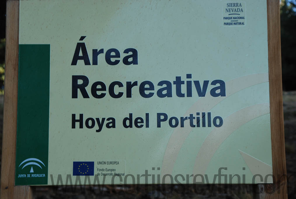
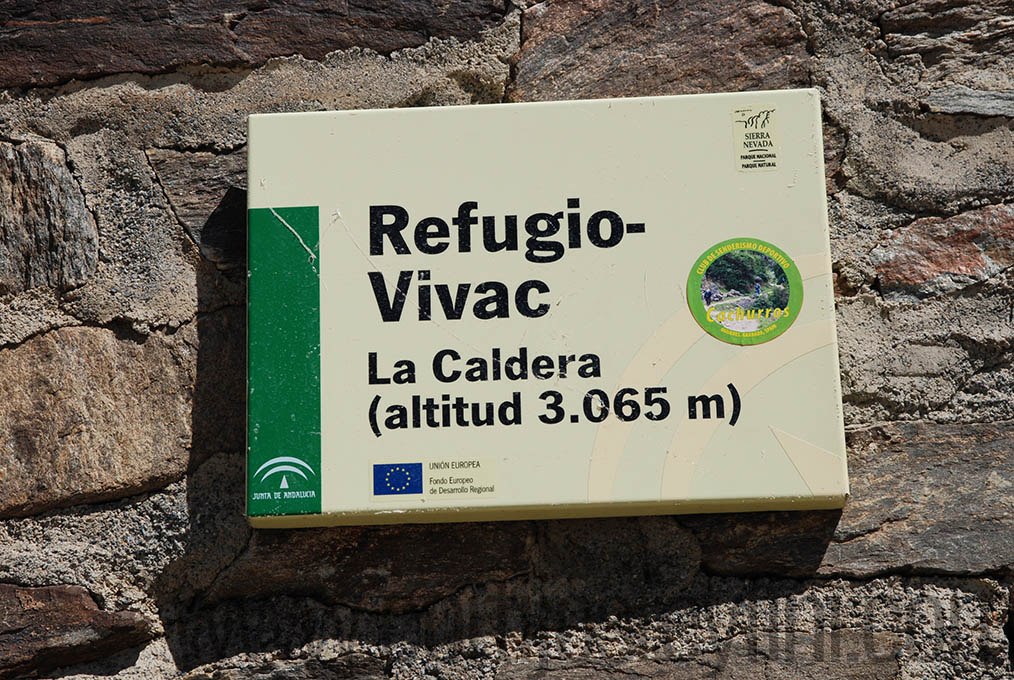
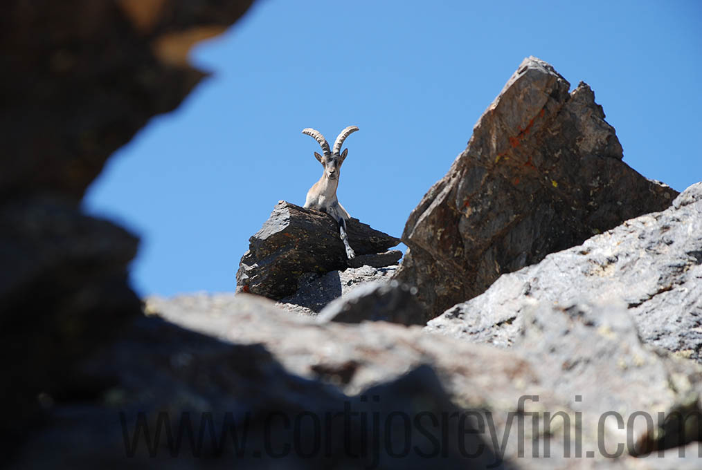
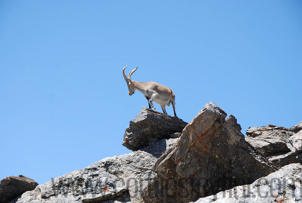
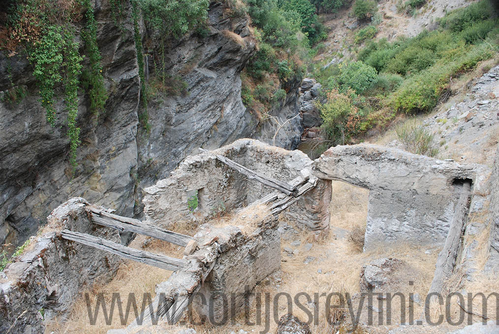
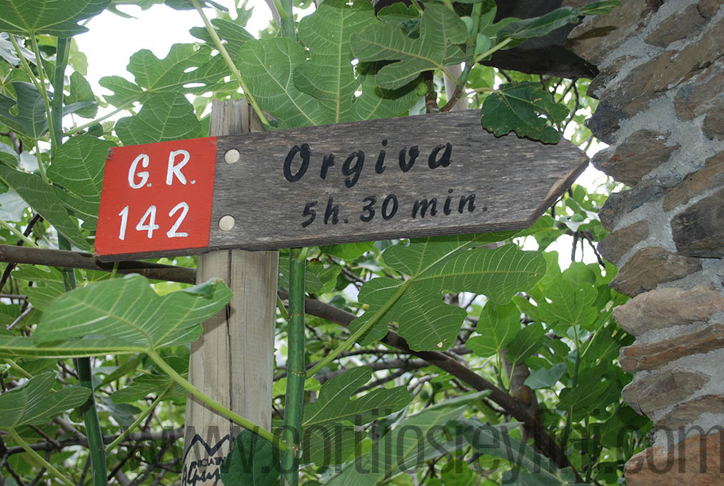
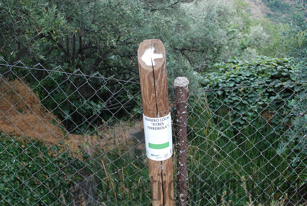
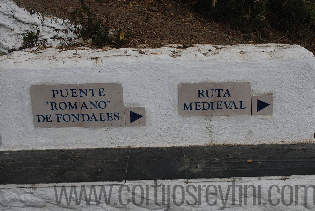
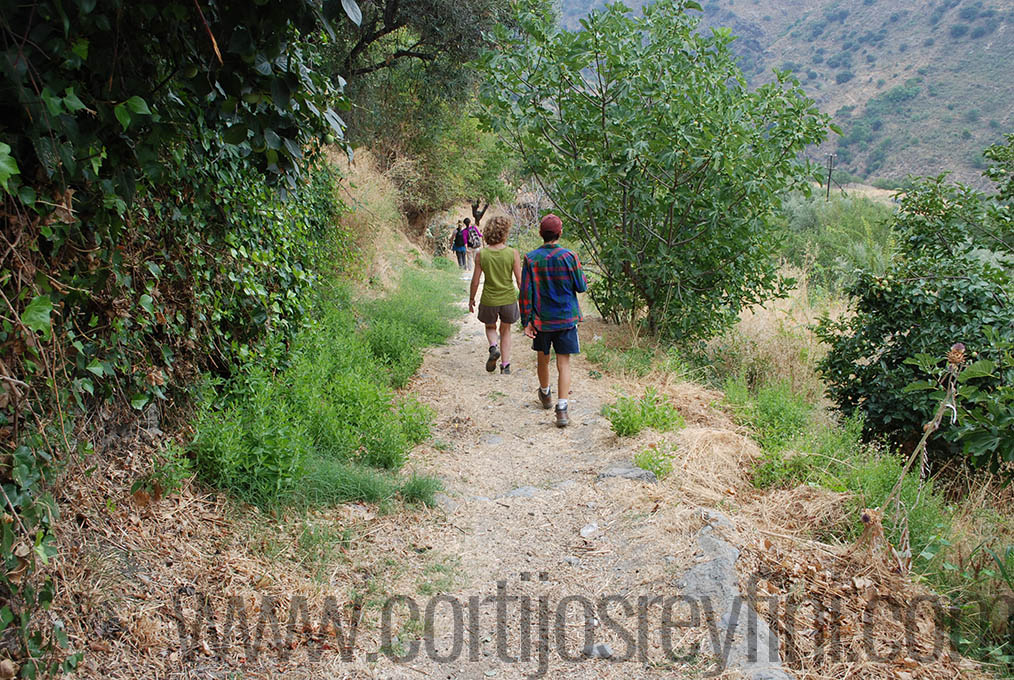
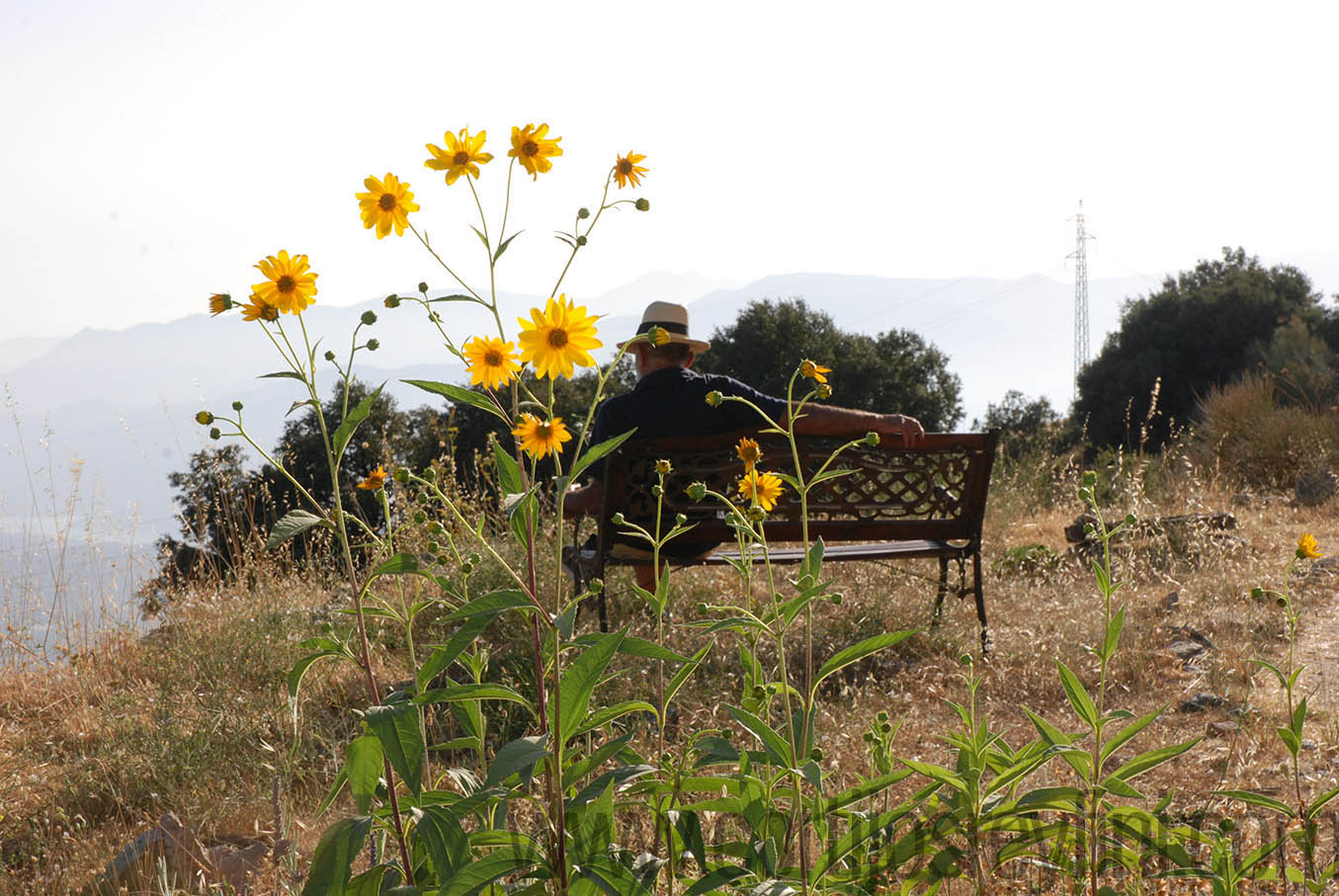
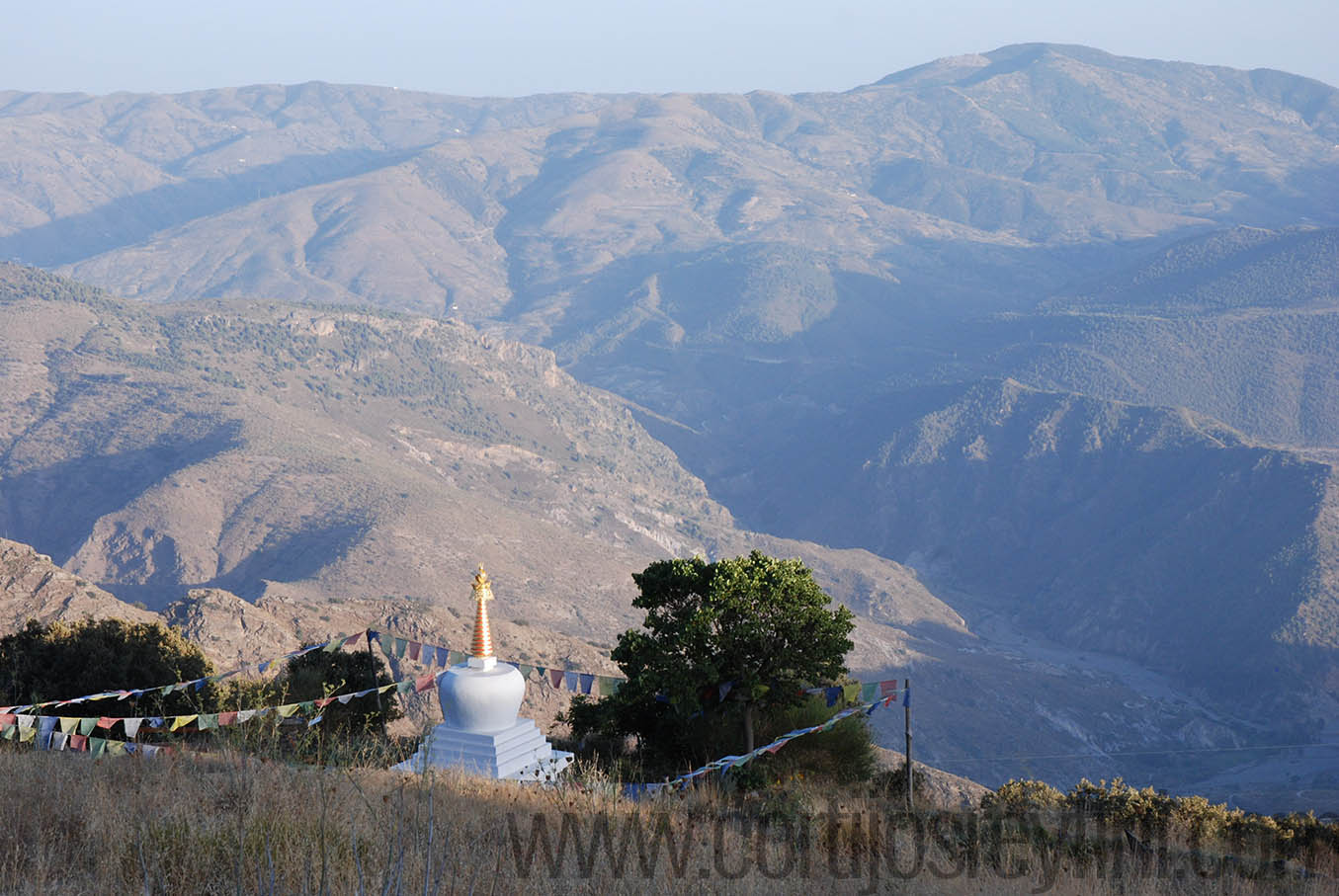
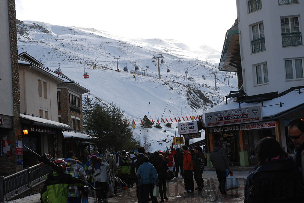
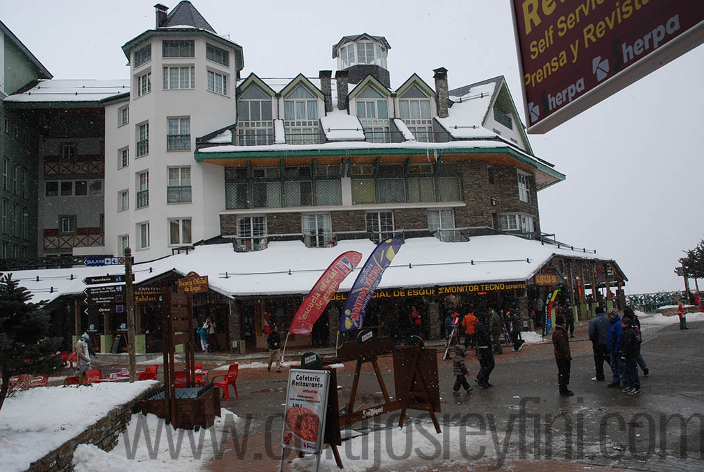
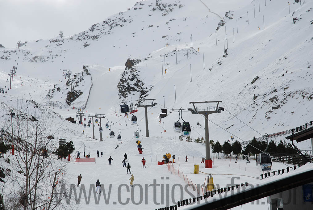
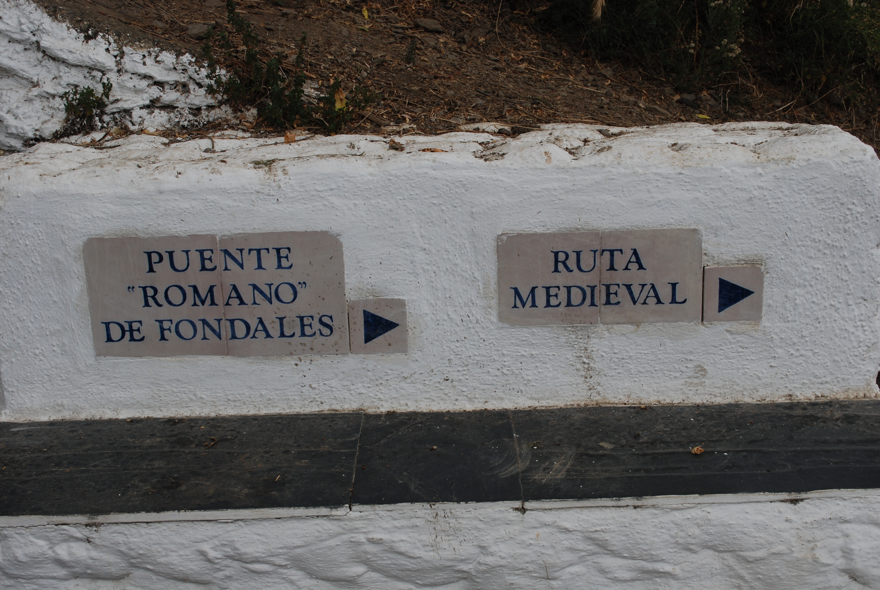
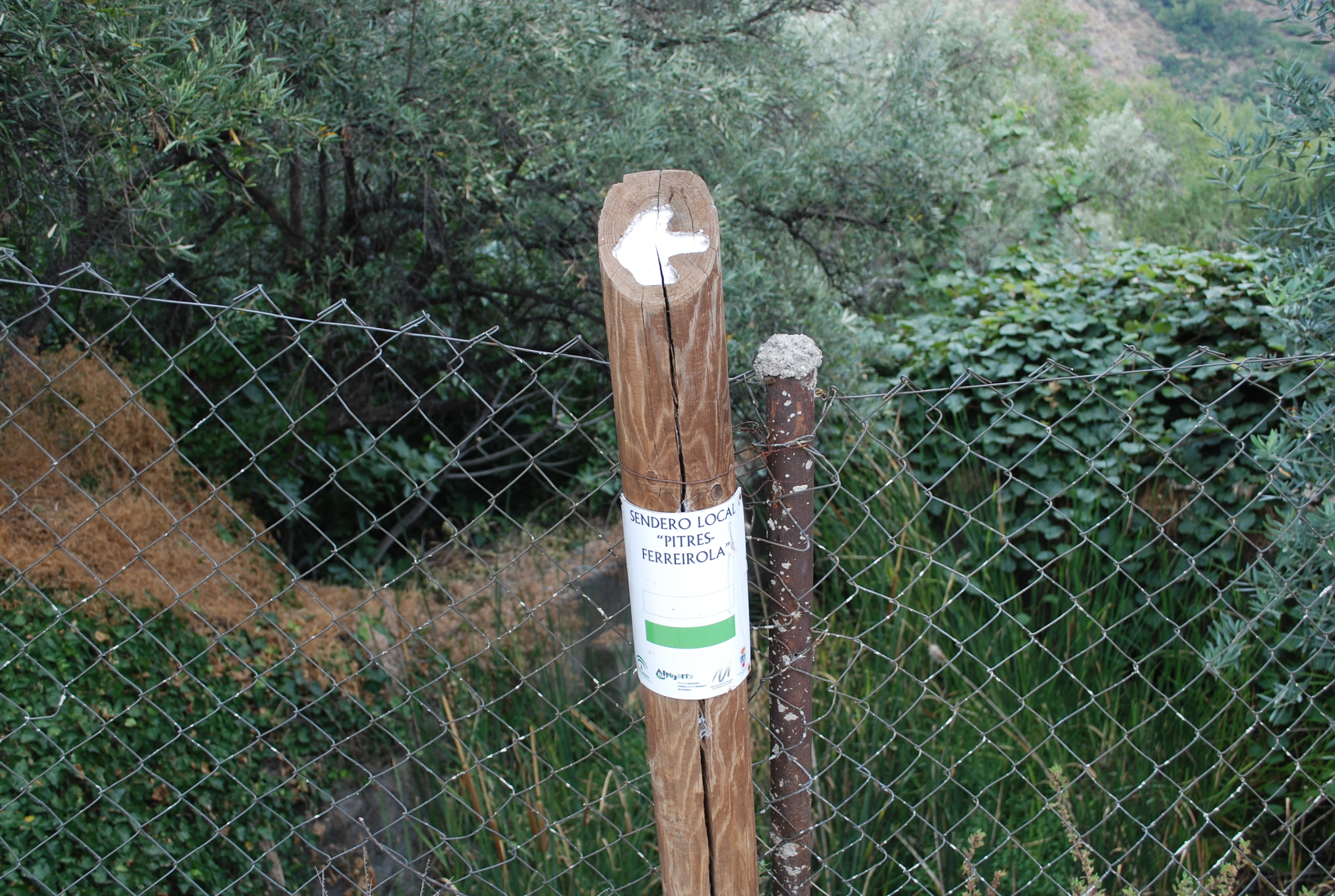
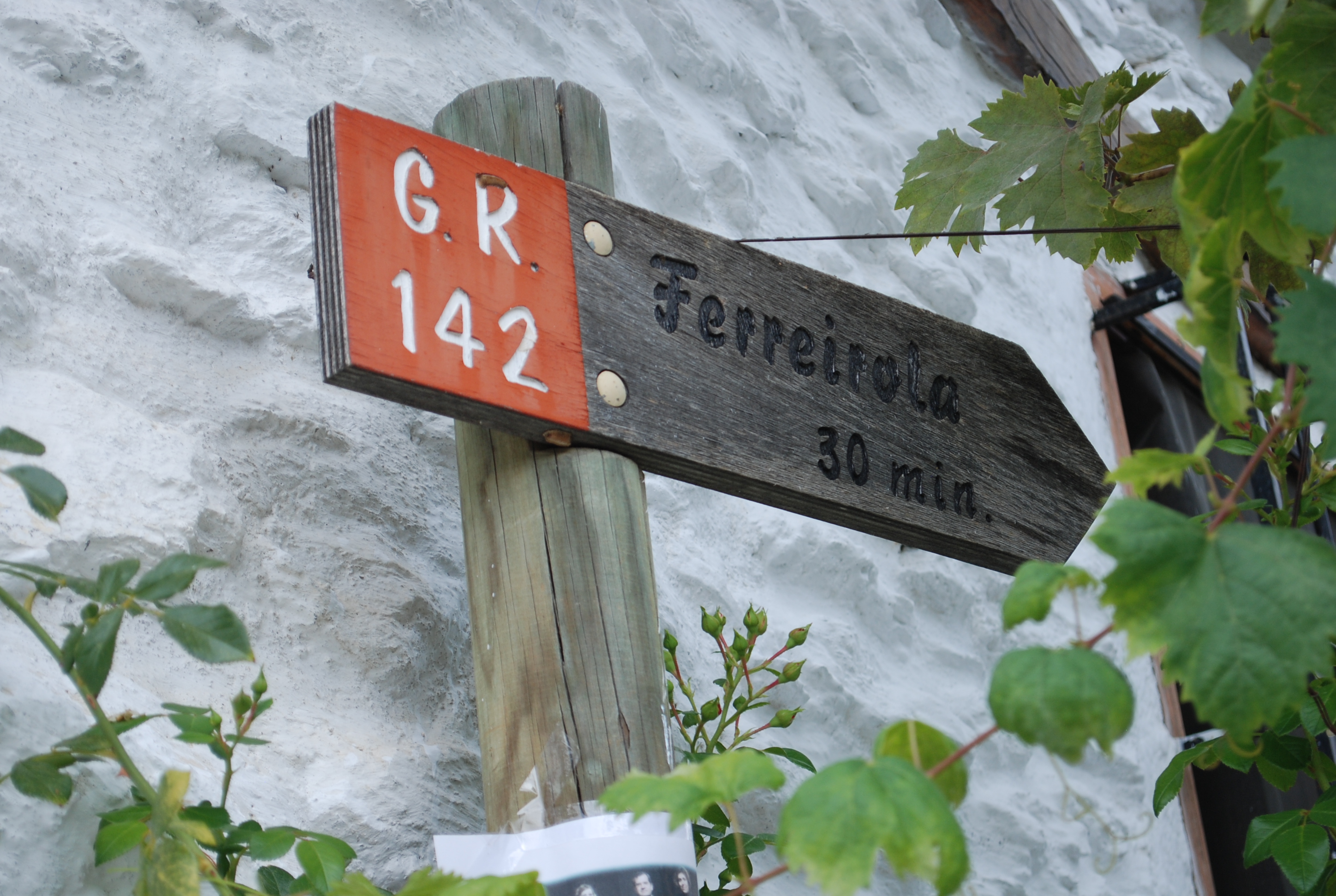
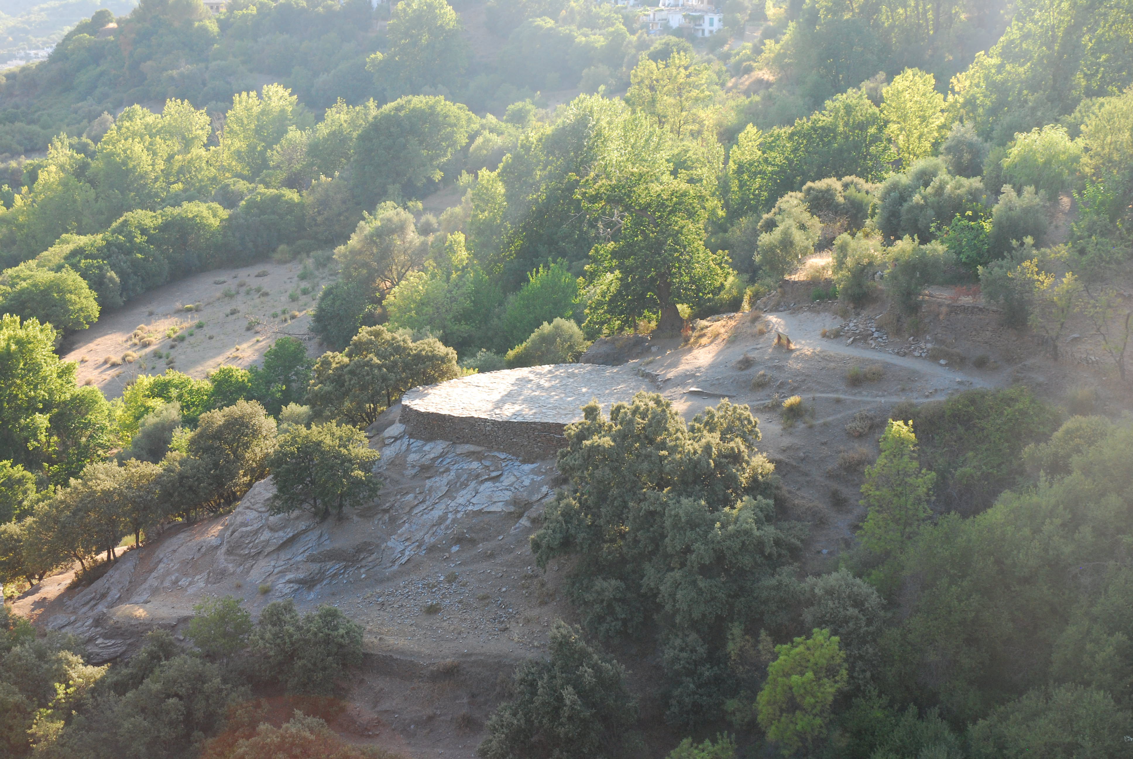
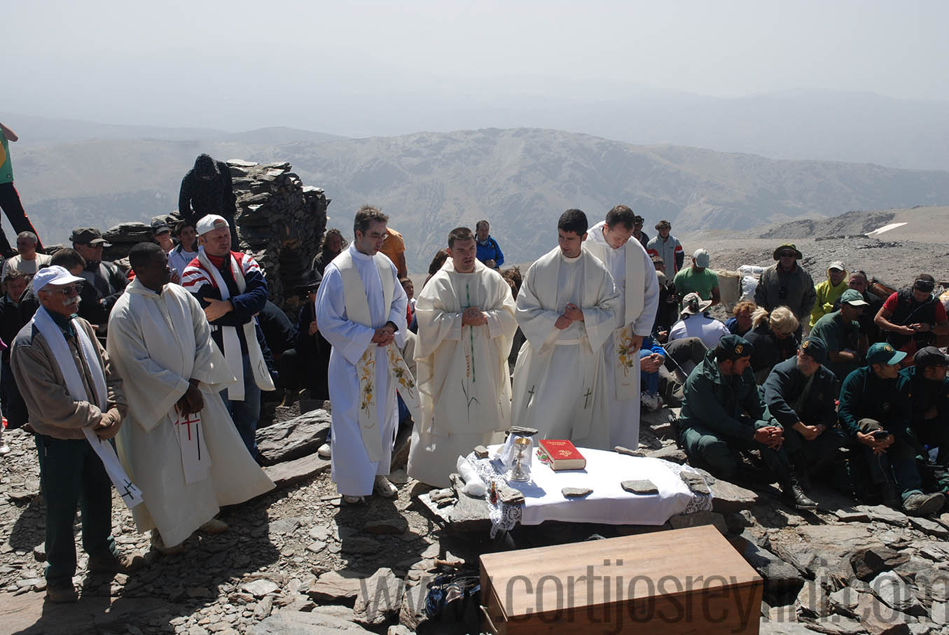
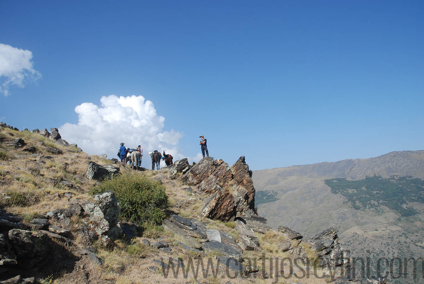
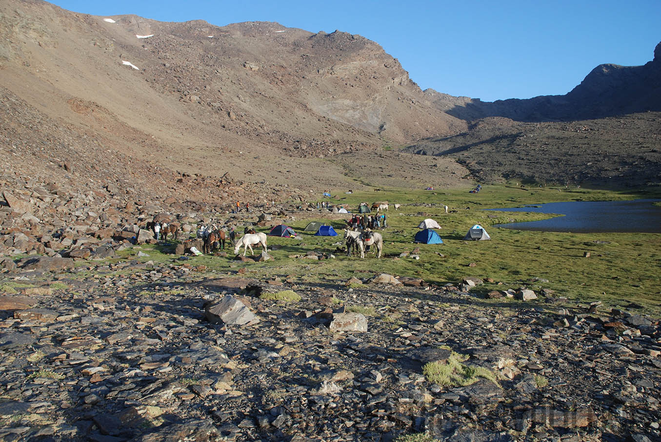
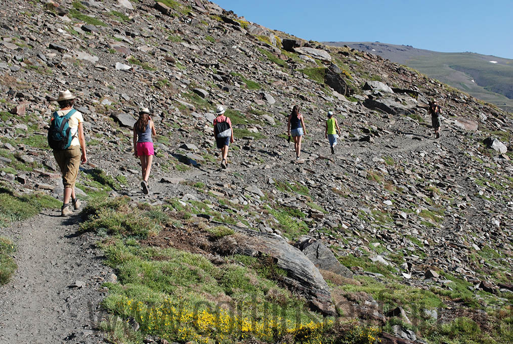
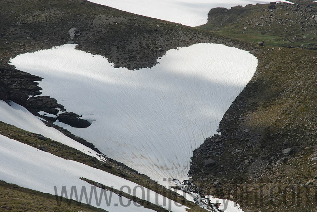
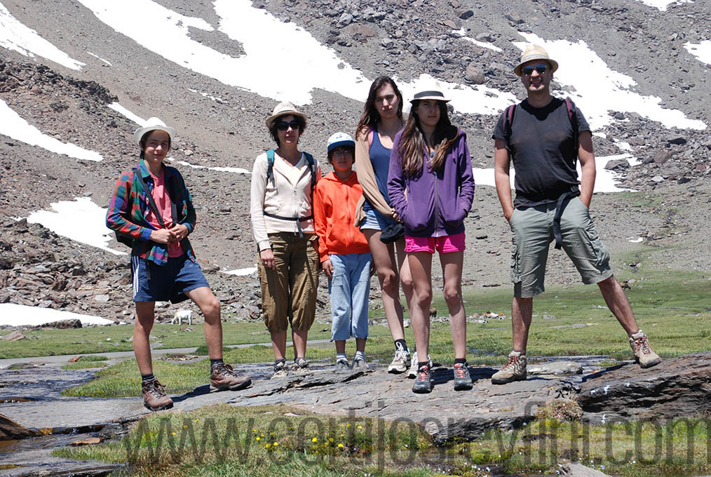
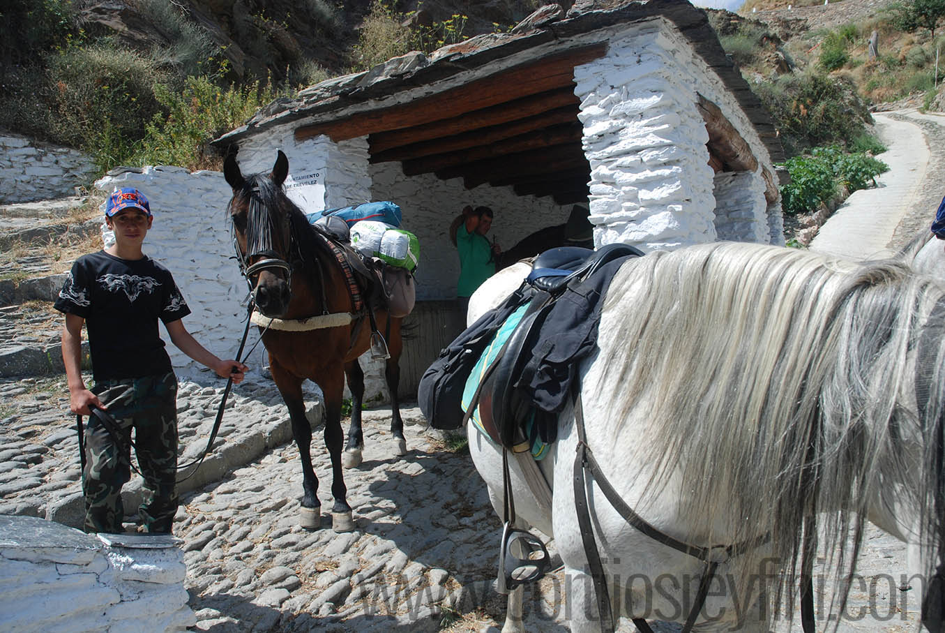
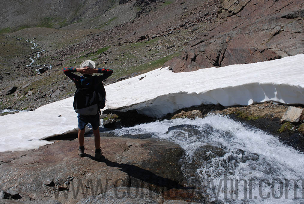
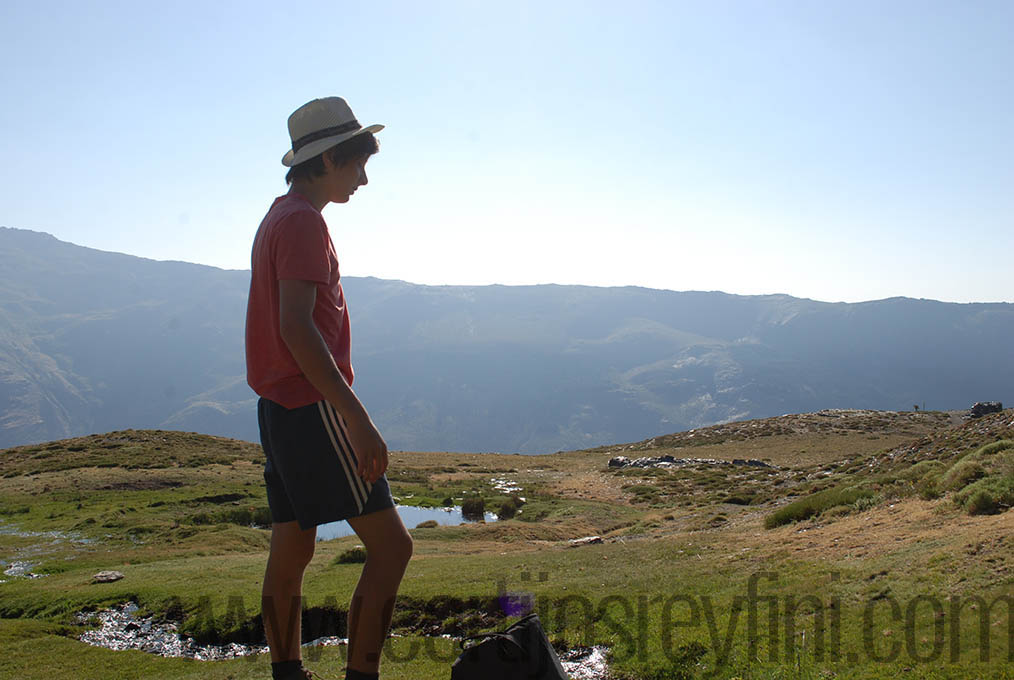
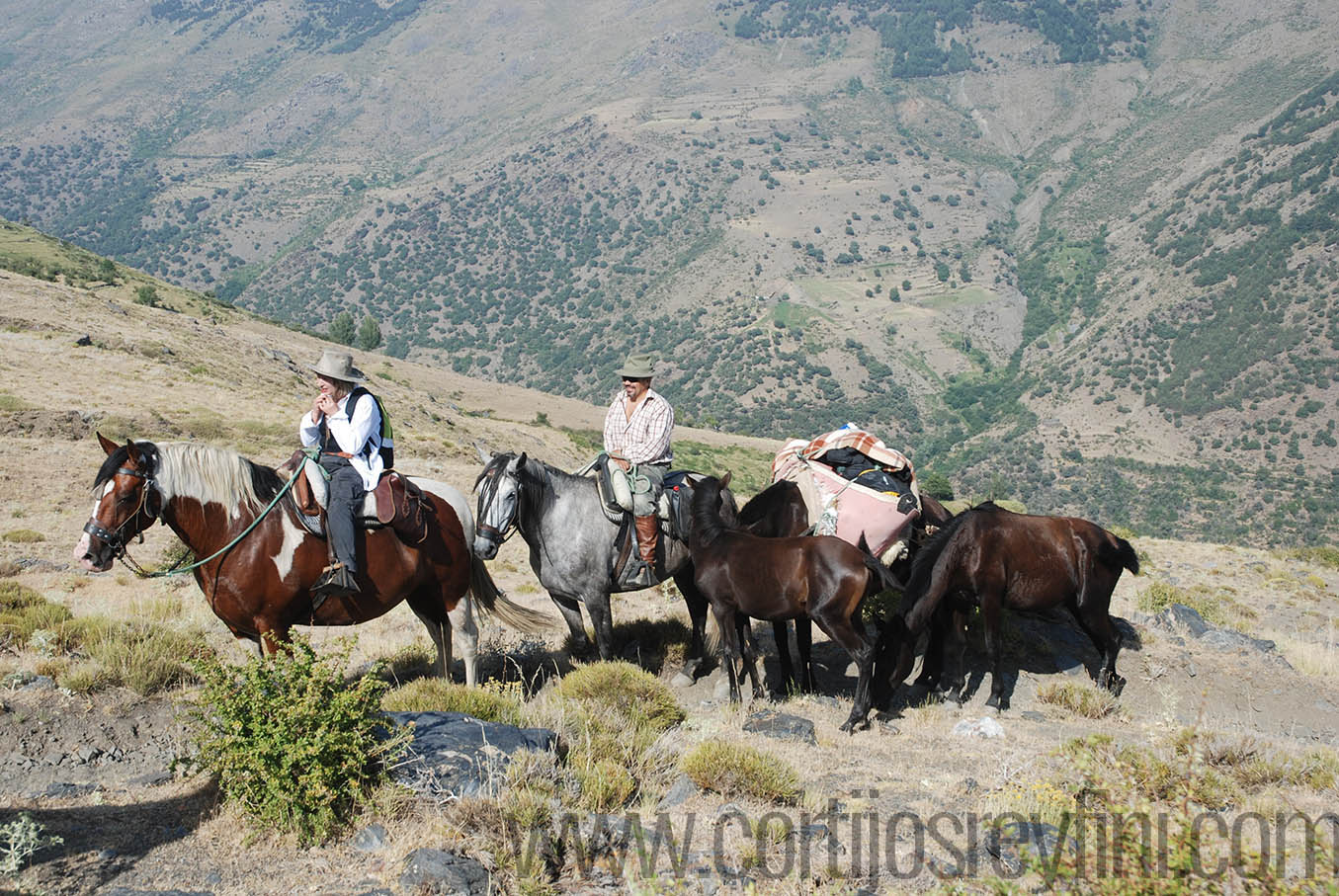
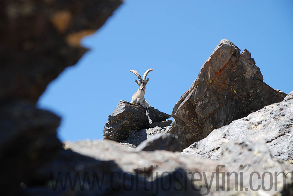
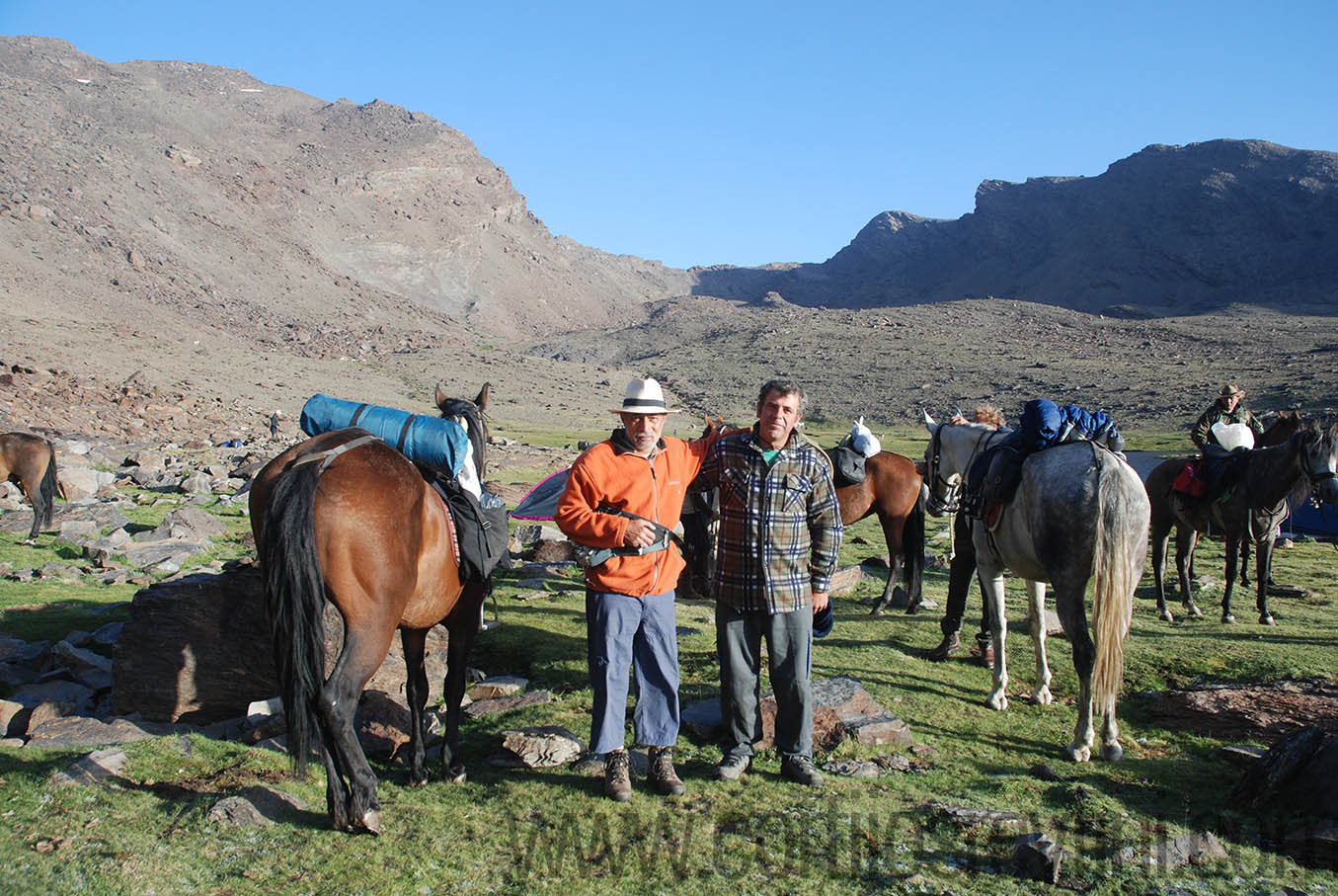
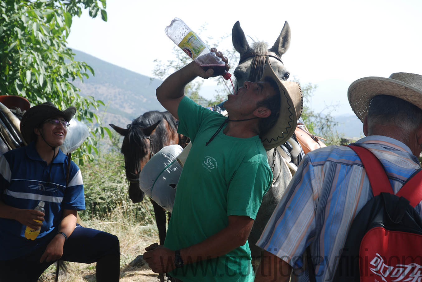
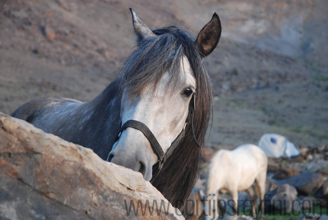
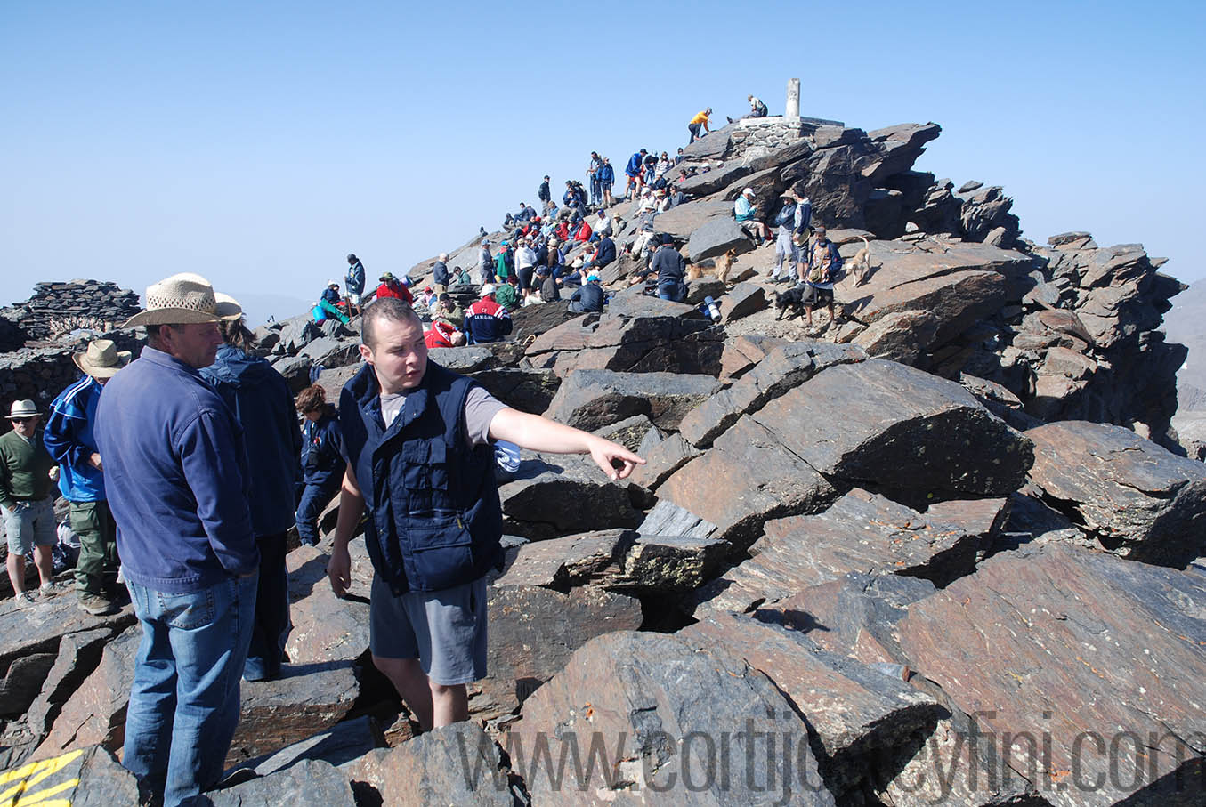
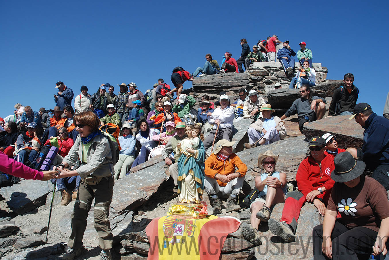
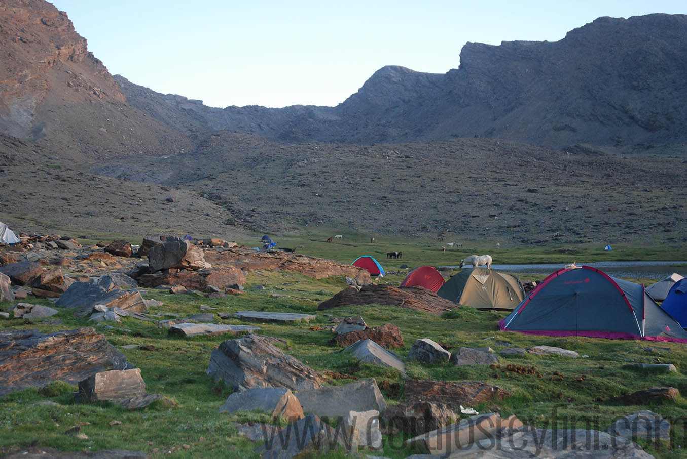
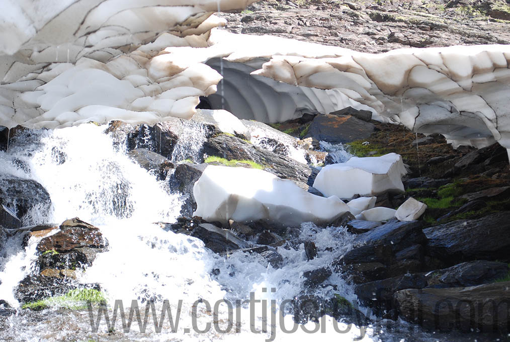
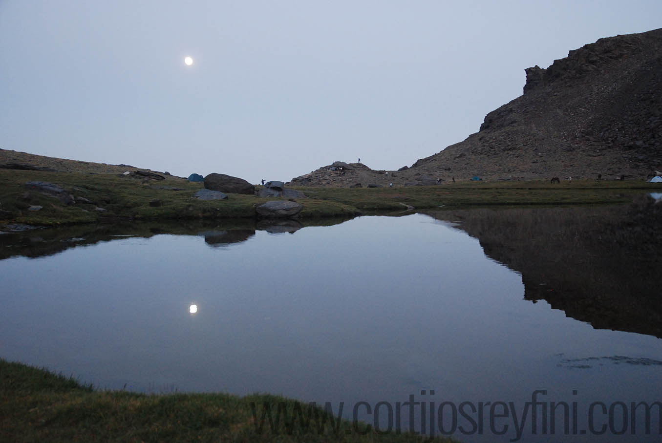
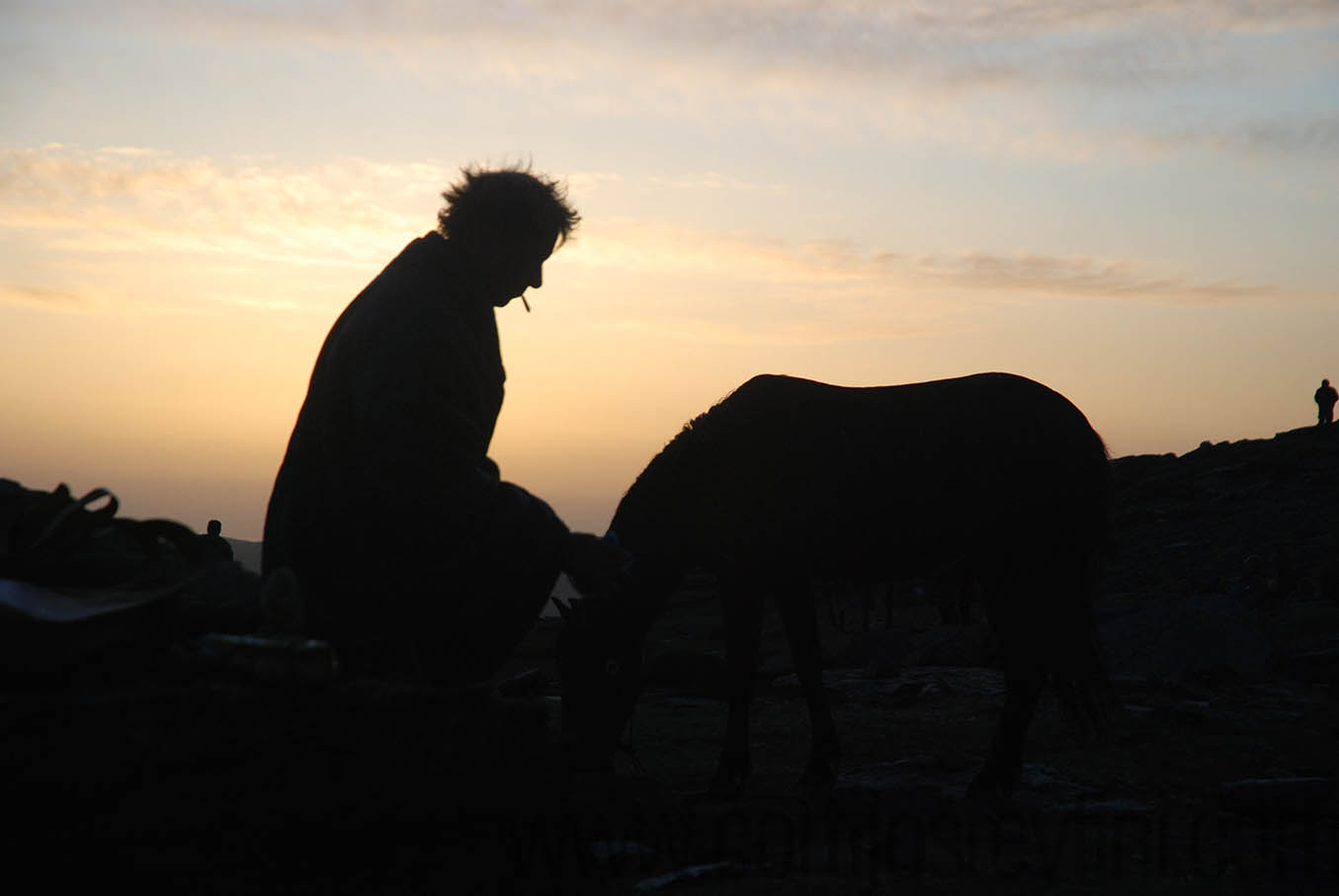
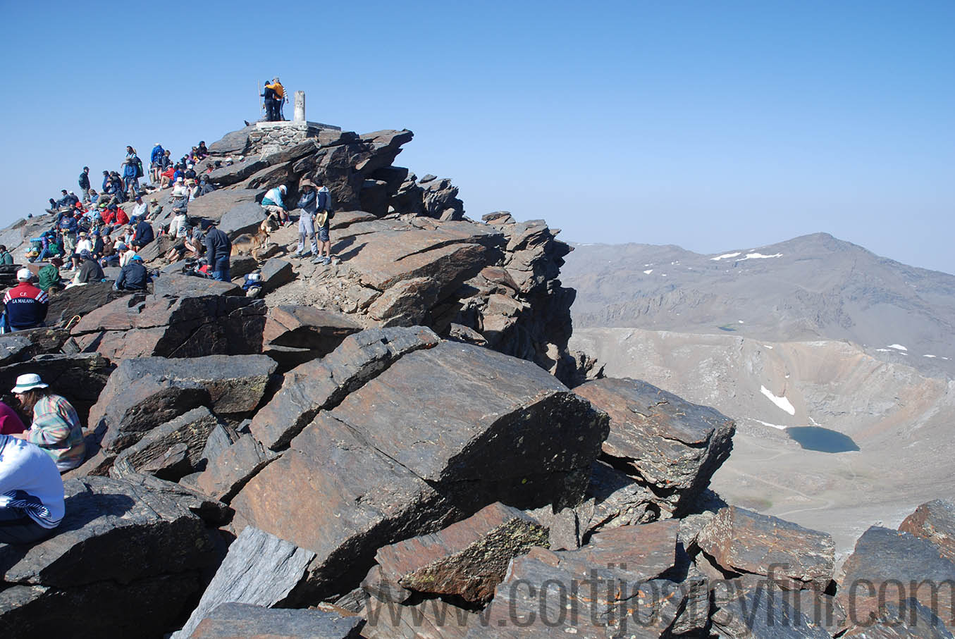
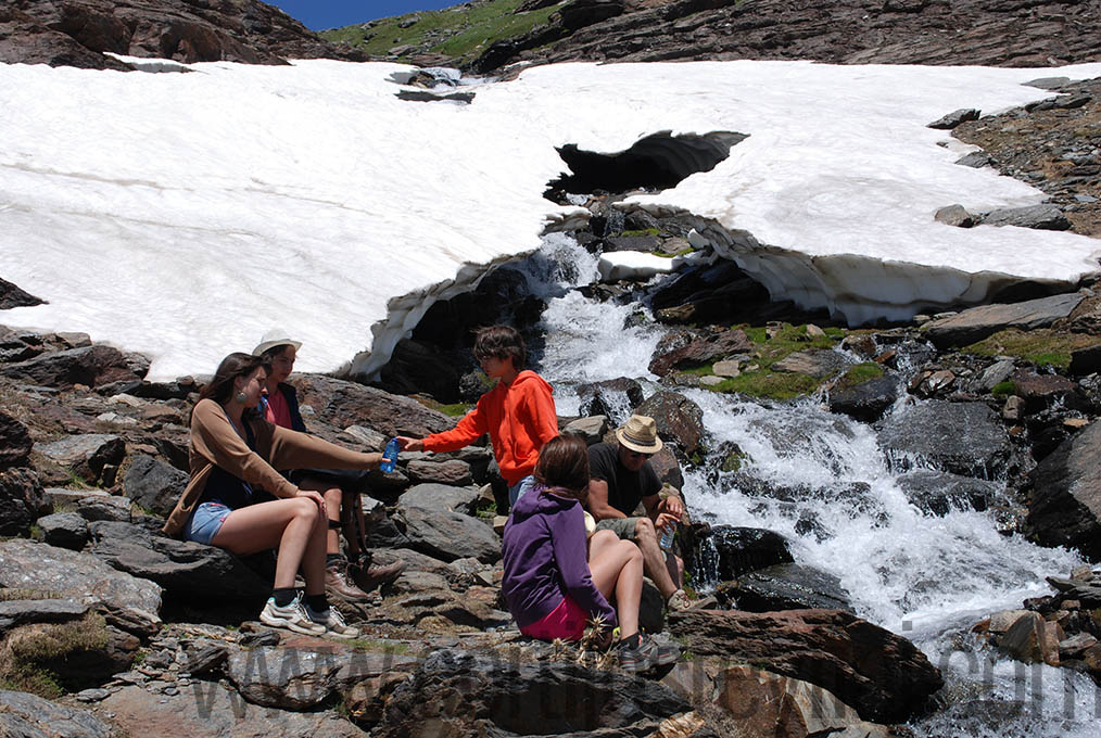
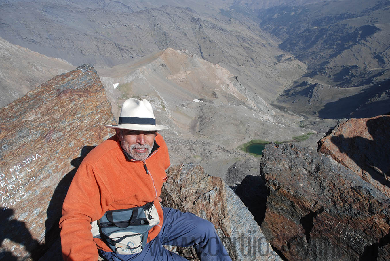
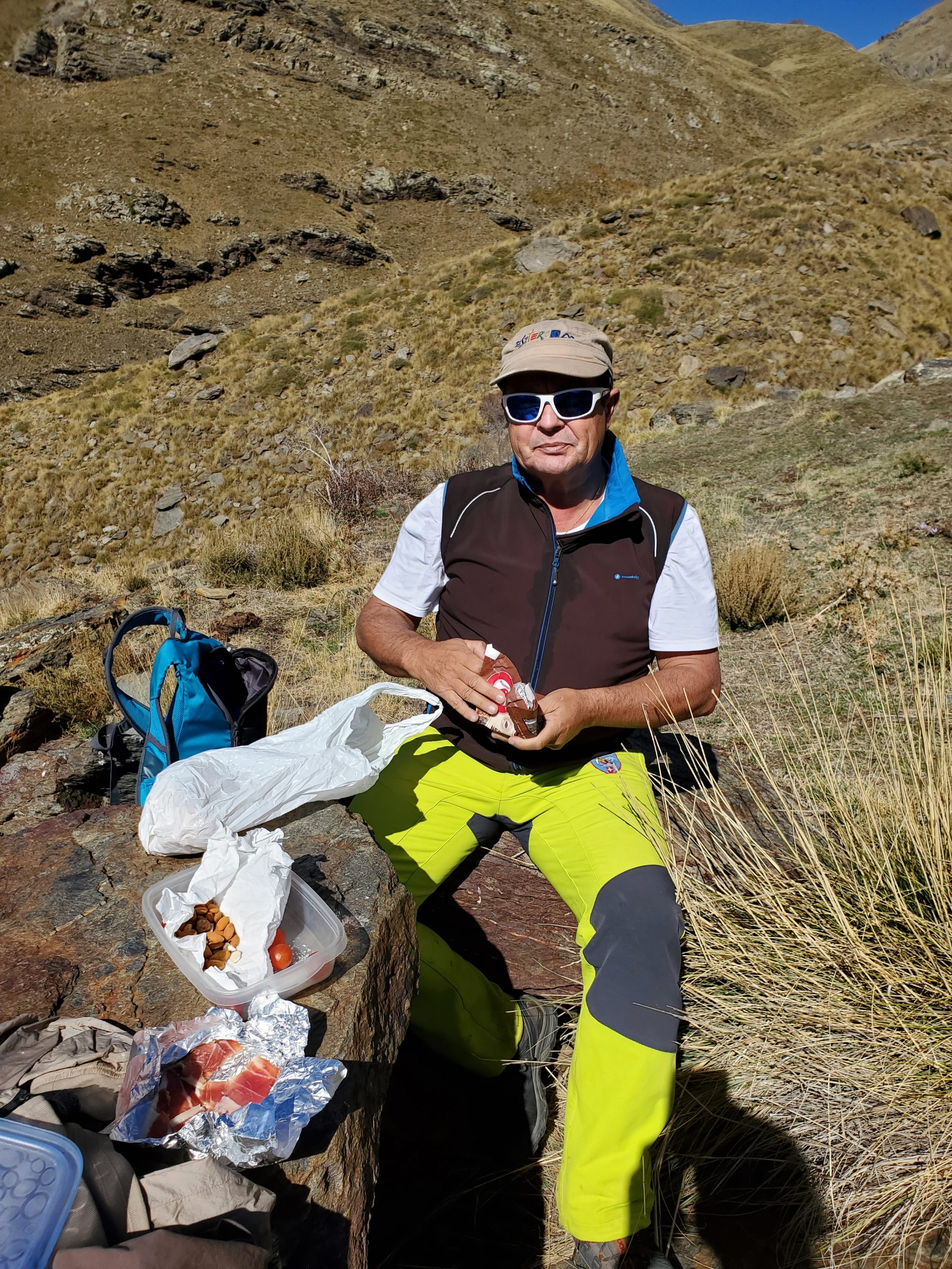
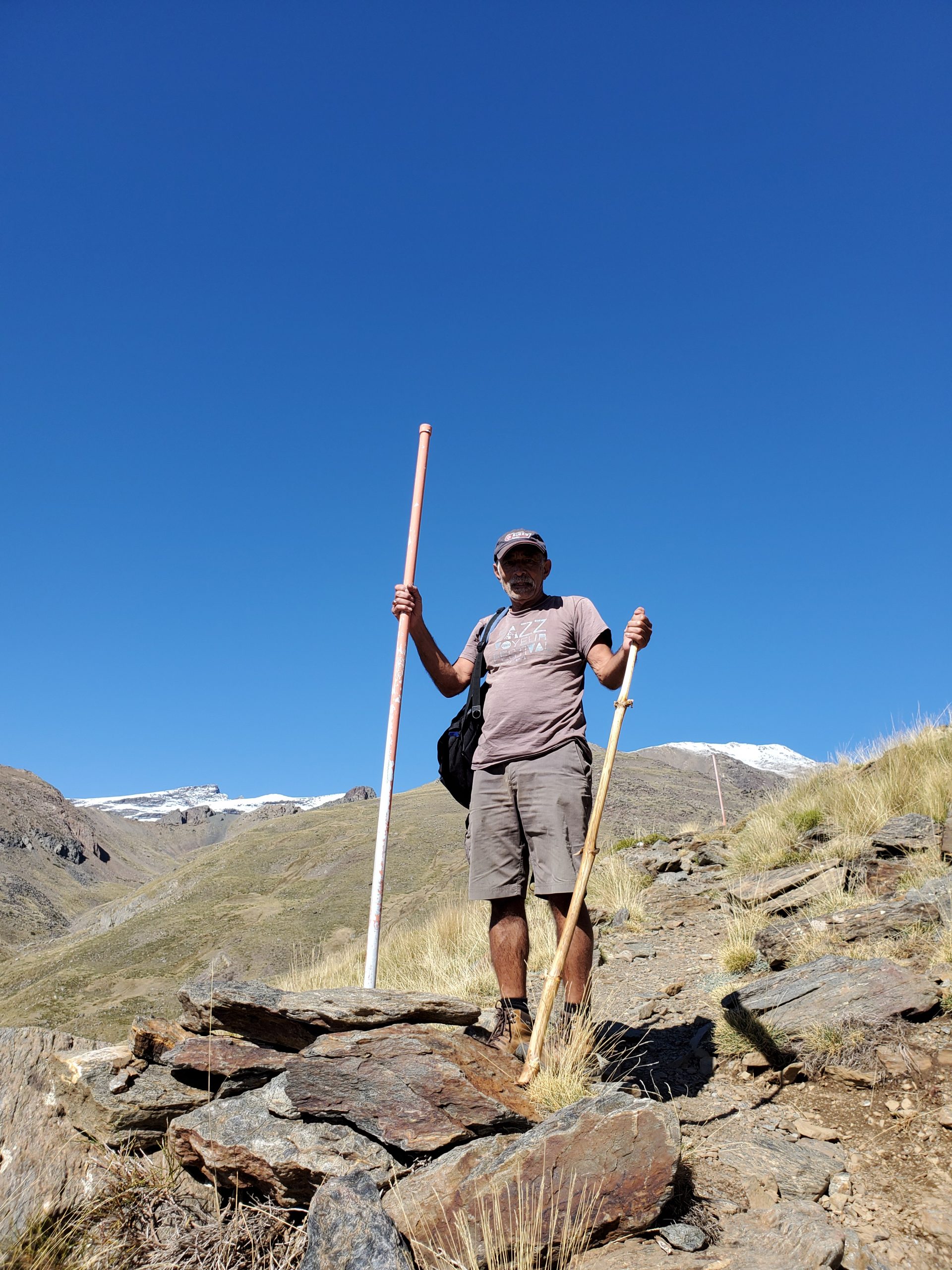
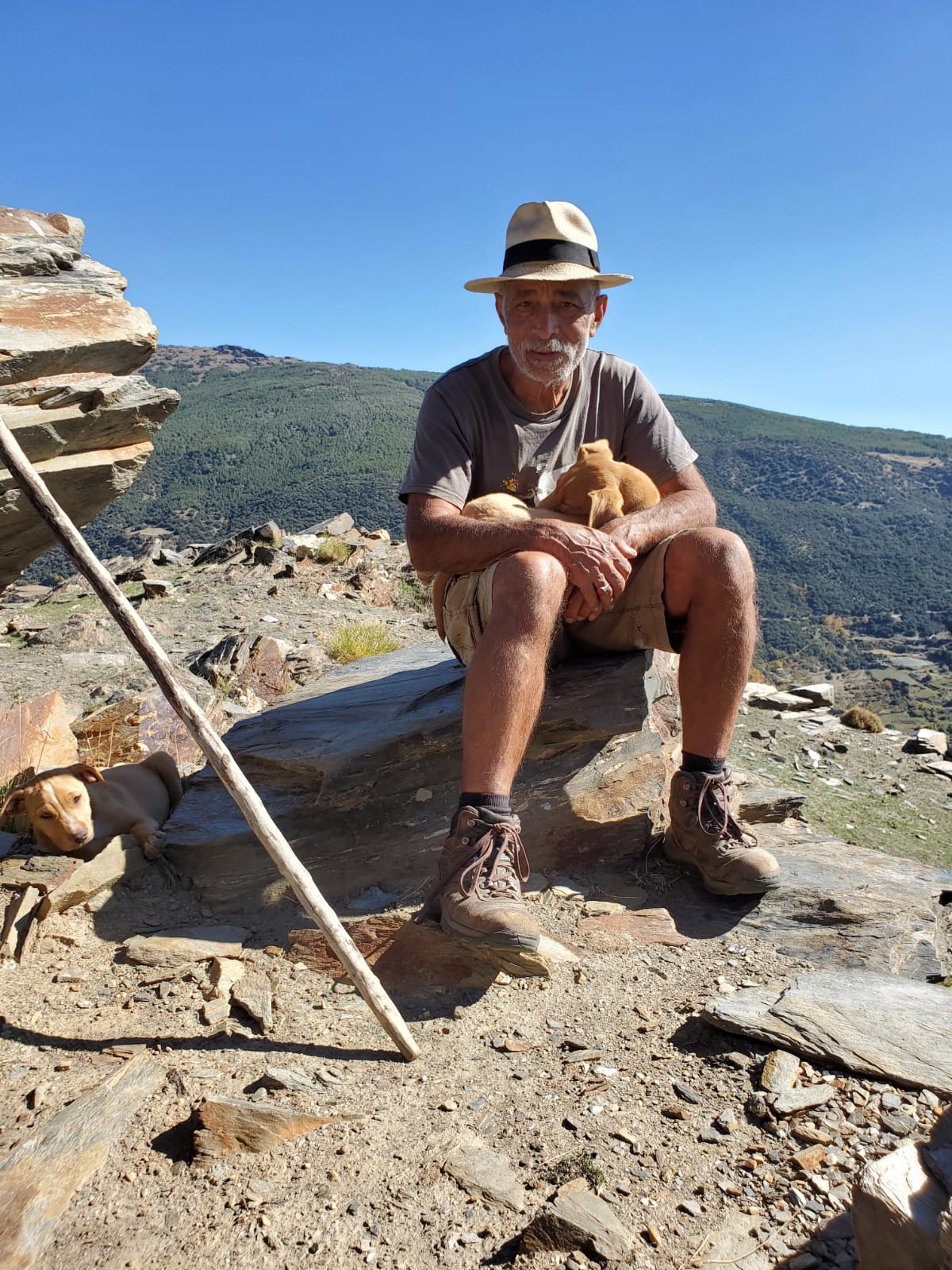
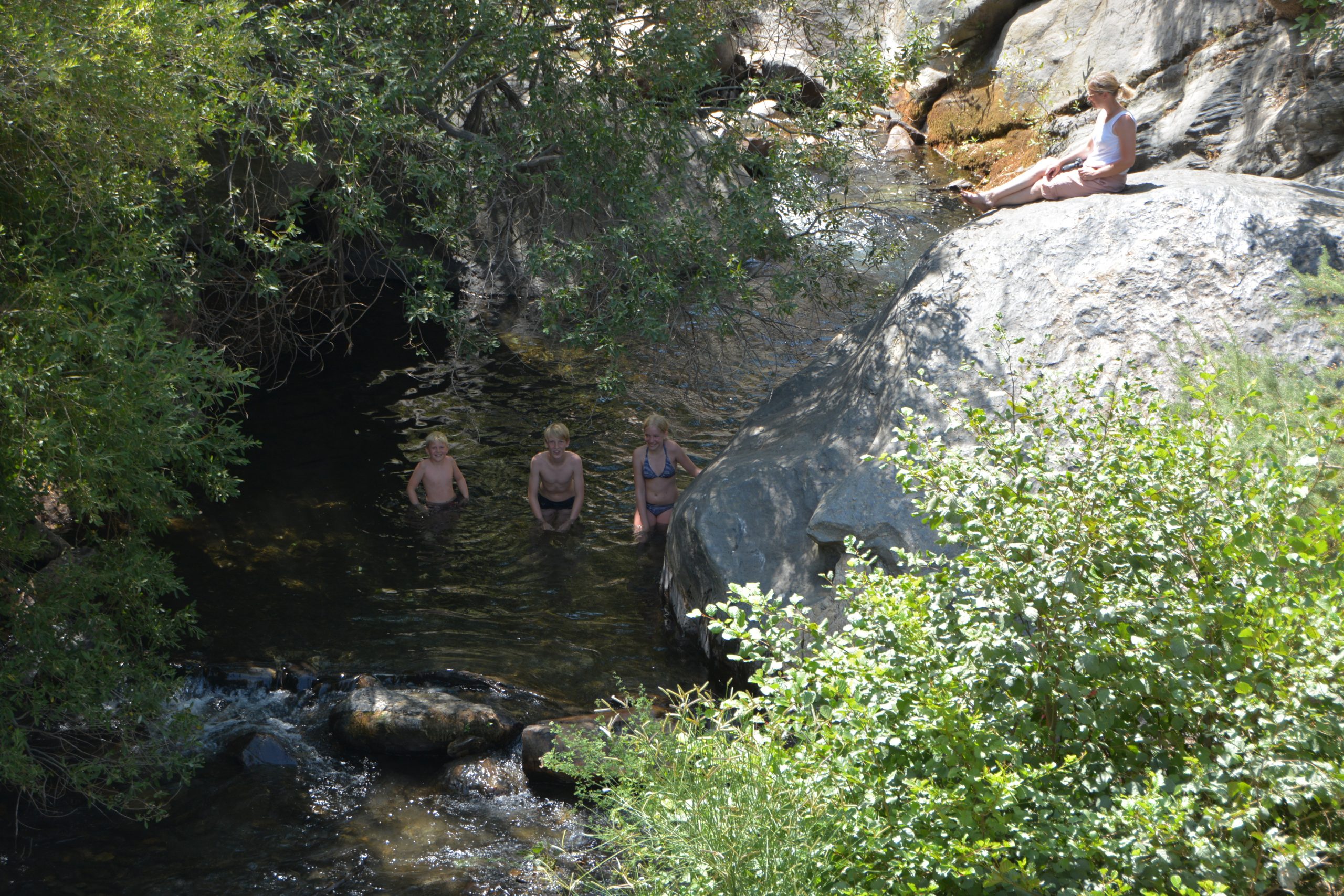
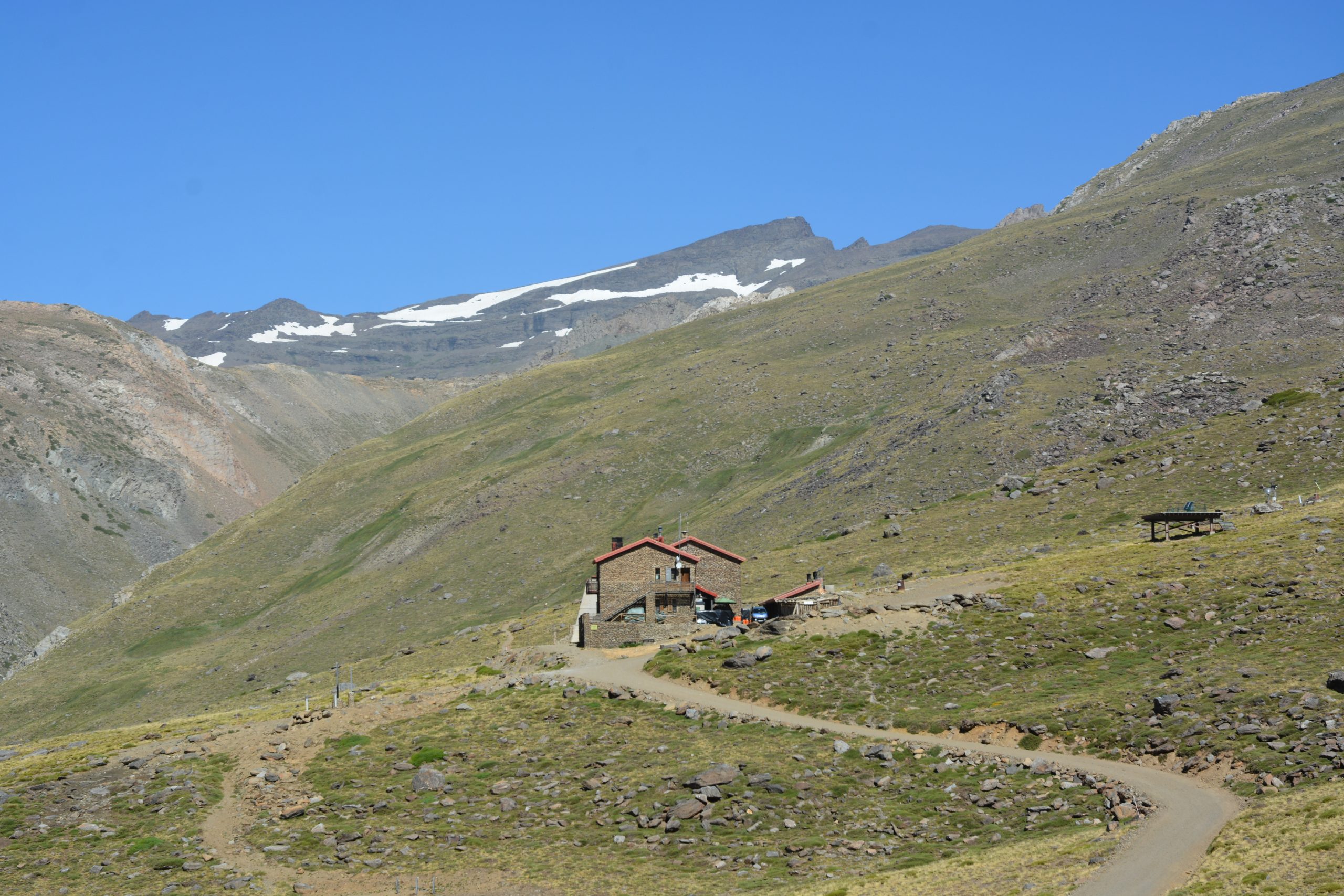
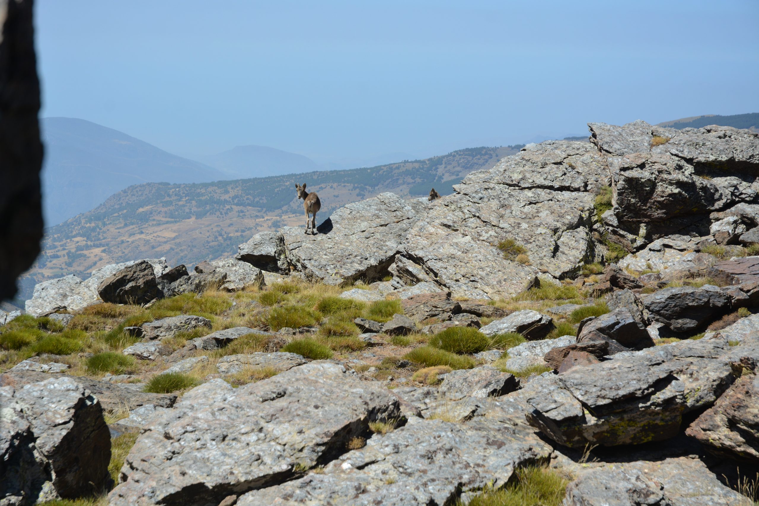
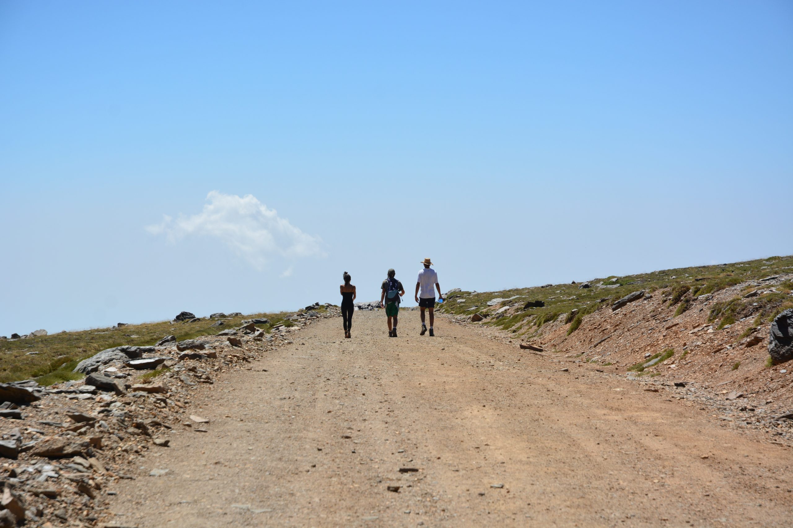
Walking in Sierra Nevada